Sewell's Point, Norfolk

Map
Facts and practical information
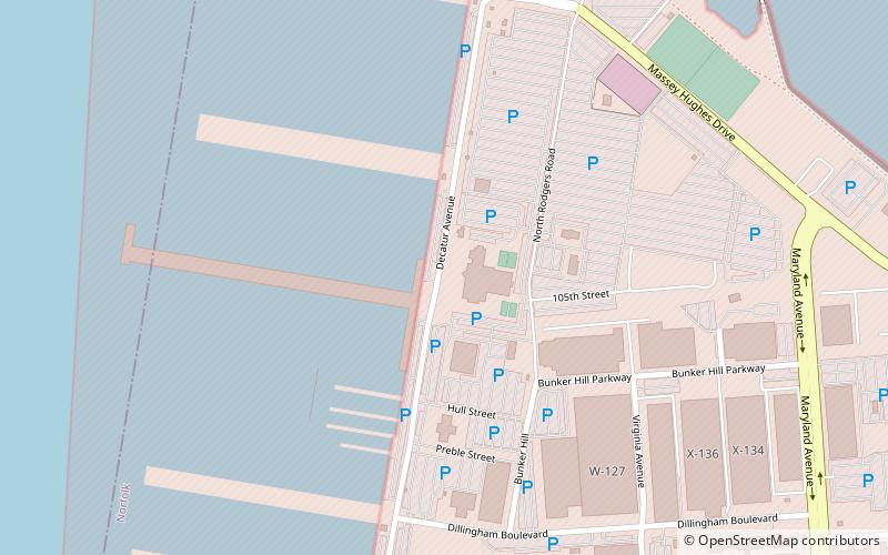
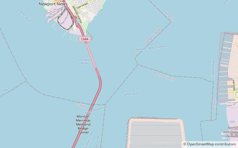
Sewells Point is a peninsula of land in the independent city of Norfolk, Virginia in the United States, located at the mouth of the salt-water port of Hampton Roads. Sewells Point is bordered by water on three sides, with Willoughby Bay to the north, Hampton Roads to the west, and the Lafayette River to the south. It is the site of Naval Station Norfolk. ()
Coordinates: 36°57'18"N, 76°19'37"W
Address
Naval Station NorfolkNorfolk
ContactAdd
Social media
Add
Day trips
Sewell's Point – popular in the area (distance from the attraction)
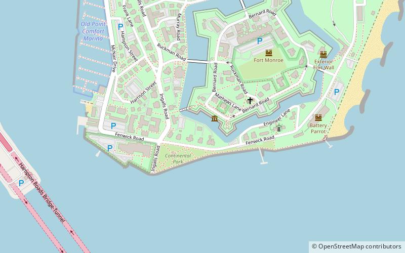
Nearby attractions include: Ocean View Amusement Park, Fort Monroe, Old Point Comfort Marina, Old Point Comfort Light.
Frequently Asked Questions (FAQ)
Which popular attractions are close to Sewell's Point?
Nearby attractions include Commodore Levy Chapel, Norfolk (19 min walk), Jamestown Exposition, Norfolk (21 min walk).


