New Almaden, San Jose
Map
Gallery
Facts and practical information
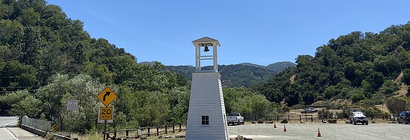
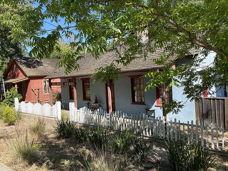
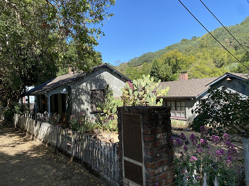
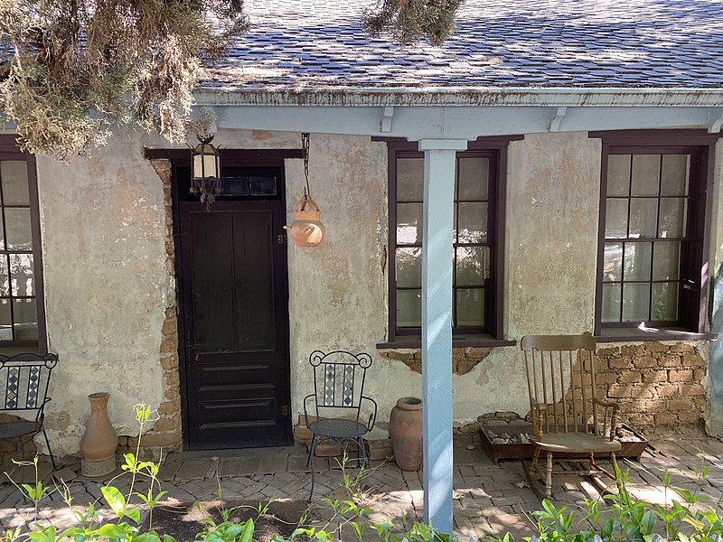
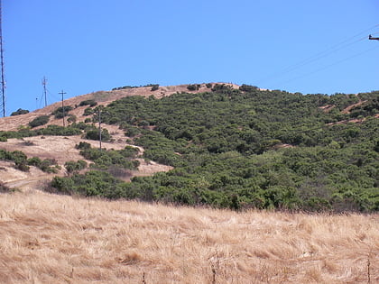
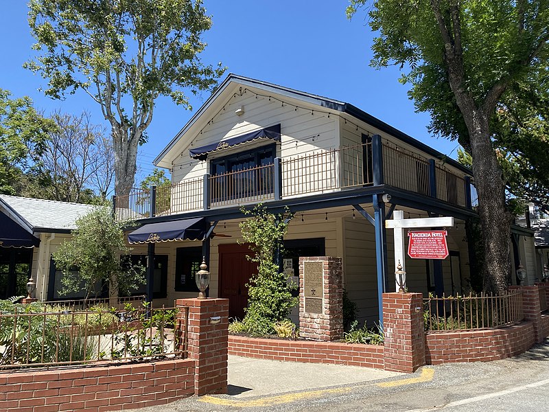
New Almaden, known in Spanish as Nueva Almadén, is a historic community and former mercury mine in the Capitancillos Hills of San Jose, California, located at the southwestern point of Almaden Valley in South San Jose. New Almaden is divided into two parts: the mines and much of their immediate surroundings, including historic ghost town settlements in the Capintancillas, which together form the Almaden Quicksilver County Park, and the largely residential historic district surrounding the Casa Grande. ()
Coordinates: 37°11'21"N, 121°49'60"W
Address
Almaden ValleySan Jose
ContactAdd
Social media
Add
Day trips
New Almaden – popular in the area (distance from the attraction)
Nearby attractions include: Santa Teresa County Park, Oakridge Mall, Golfland, Hayes Mansion.
Frequently Asked Questions (FAQ)
How to get to New Almaden by public transport?
The nearest stations to New Almaden:
Bus
Bus
- McKean Road & Almaden Road • Lines: 83 (17 min walk)
- Almaden Road & Viewpoint Lane • Lines: 83 (26 min walk)


