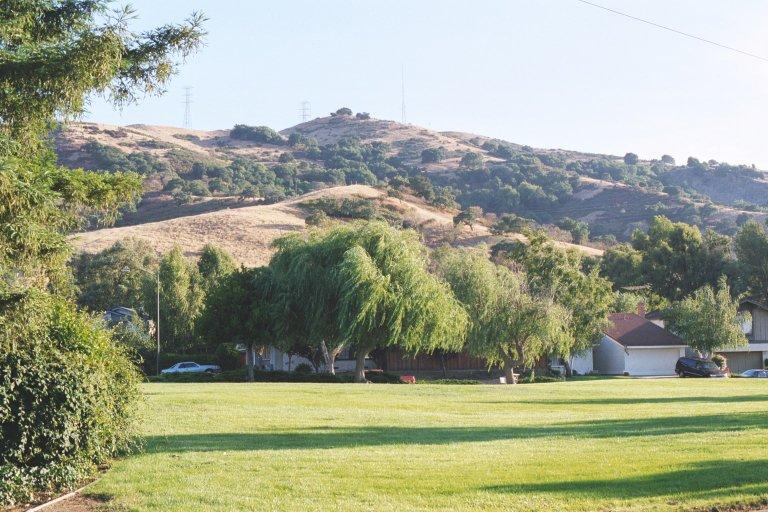
Santa Teresa County Park, San Jose

Gallery (4)
Map

Map
Gallery
Facts and practical information
Santa Teresa County Park is an 1,674-acre park in the Santa Teresa neighborhood of San Jose, California, located within the Santa Teresa Hills ()
Elevation: 587 ft a.s.l.Coordinates: 37°12'50"N, 121°47'15"W
Address
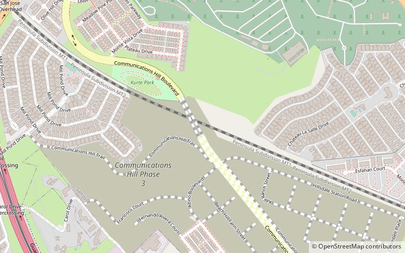
260 Bernal RoadEdenvaleSan Jose
ContactAdd
Social media
Add
Getting there by public transportation
Public transportation stops near this location
- Bus
 Bus
Bus
- Calculate routeSanta Teresa Boulevard & Bernal Road 28 min walk
Day trips


Frequently Asked Questions (FAQ)
How to get to Santa Teresa County Park by public transport?
The nearest stations to Santa Teresa County Park:
Bus
Bus
- Santa Teresa Boulevard & Bernal Road • Lines: 68 (28 min walk)