Bungalow 8, New York City
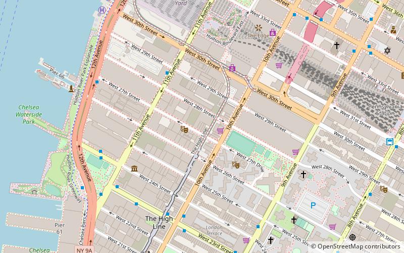
Map
Facts and practical information
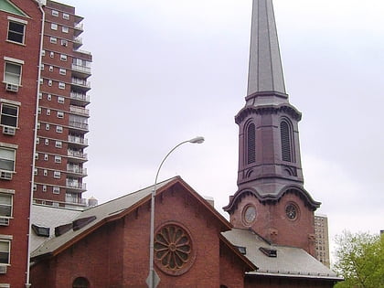
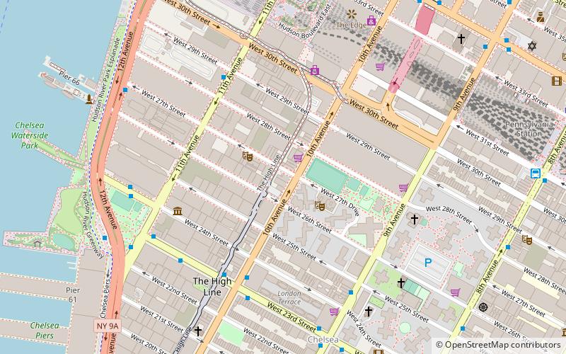
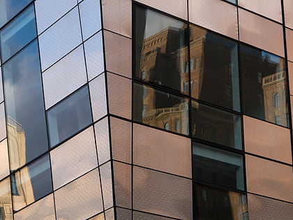
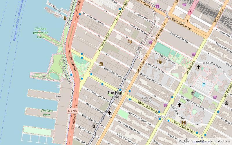
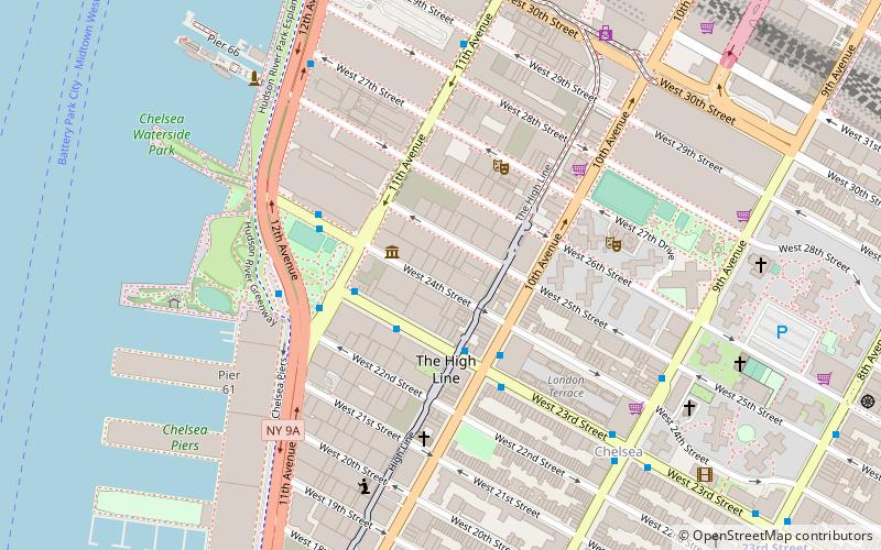
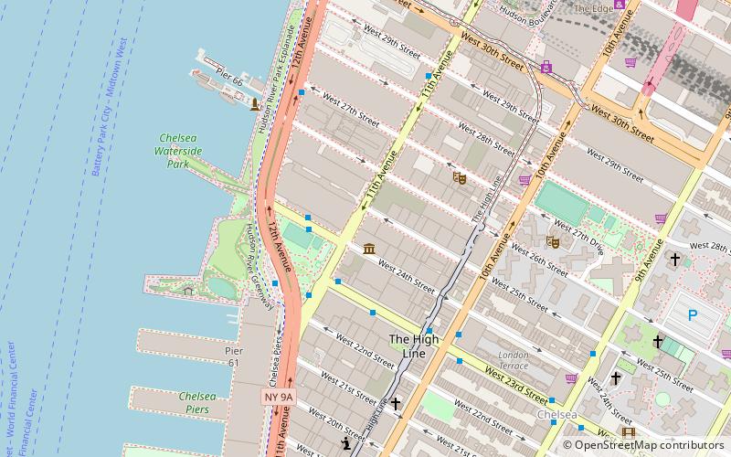
Bungalow 8 is a nightclub chain created in 2001 that was located in Chelsea, Manhattan on 27th Street, between 10th and 11th Avenues. ()
Coordinates: 40°45'3"N, 74°0'11"W
Address
Midtown Manhattan (Chelsea)New York City
ContactAdd
Social media
Add
Day trips
Bungalow 8 – popular in the area (distance from the attraction)
Nearby attractions include: Church of the Holy Apostles, The Shed, Vessel, The Shops & Restaurants at Hudson Yards.
Frequently Asked Questions (FAQ)
Which popular attractions are close to Bungalow 8?
Nearby attractions include Paul Kasmin Gallery, New York City (2 min walk), BravinLee programs, New York City (2 min walk), James Cohan Gallery, New York City (2 min walk), Greene Naftali Gallery, New York City (2 min walk).
How to get to Bungalow 8 by public transport?
The nearest stations to Bungalow 8:
Bus
Metro
Train
Ferry
Light rail
Bus
- West 24th Street & 11th Avenue • Lines: M23 Sbs (6 min walk)
- 12th Avenue & West 23rd Street • Lines: M23 Sbs (8 min walk)
Metro
- 34th Street–Hudson Yards • Lines: <7>, 7 (9 min walk)
- 23rd Street • Lines: A, C, E (12 min walk)
Train
- Pennsylvania Station (11 min walk)
- New York Penn Station (14 min walk)
Ferry
- Midtown/West 39th Street (18 min walk)
- Hoboken 14th Street (27 min walk)
Light rail
- Lincoln Harbor • Lines: Hblr (34 min walk)
 Subway
 Manhattan Buses