Columbia Forest Historic District, Arlington


Facts and practical information
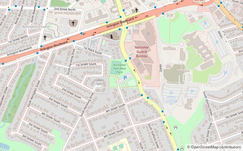
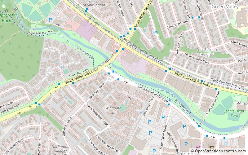
The Columbia Forest Historic District is a national historic district located at Arlington County, Virginia. It is directly east of the Virginia Heights Historic District. It contains 238 contributing buildings in a residential neighborhood in South Arlington. They were built in two phases beginning in 1942 and ending in 1945, and consist of 233 single-family dwellings contracted by the Federal government to house the families of young officers and ranking officials. They are two-story, two- and three-bay, paired brick or concrete block dwellings in the Colonial Revival-style. They were built under the direction of the Army Corps of Engineers by the Defense Housing Corporation. ()
South Arlington (Columbia Forest)Arlington
Columbia Forest Historic District – popular in the area (distance from the attraction)
Nearby attractions include: Arlington Hall, Four Mile Run Trail, Unitarian Universalist Church of Arlington, Barcroft Park.
Frequently Asked Questions (FAQ)
Which popular attractions are close to Columbia Forest Historic District?
How to get to Columbia Forest Historic District by public transport?
Bus
- S Frederick St at 11th St S • Lines: 75 (5 min walk)
- Columbia Pike at S Dinwiddie St • Lines: 41, 45, 75 (7 min walk)


