Passyunk Avenue Bridge, Philadelphia

Gallery (2)
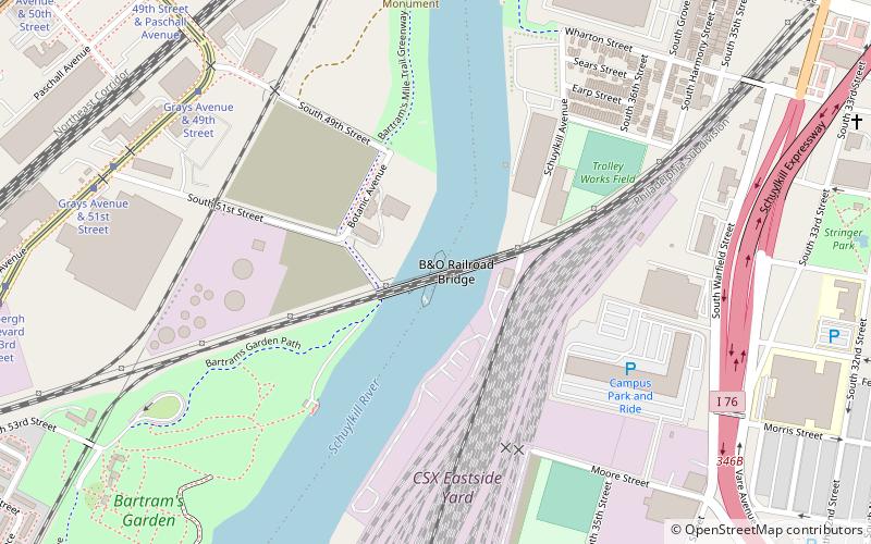
Map
Map
Gallery
Facts and practical information
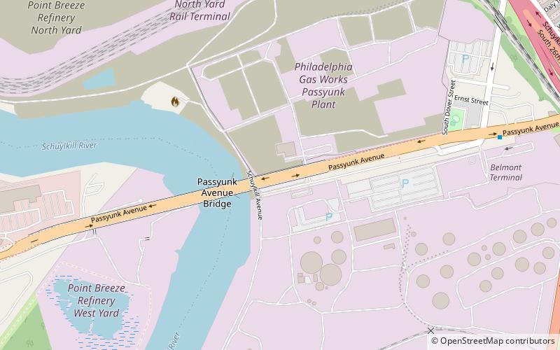
The Passyunk Avenue Bridge is a double leaf bascule bridge spanning the Schuylkill River between South Philadelphia and the Southwest Philadelphia sections of Philadelphia. ()
Coordinates: 39°55'13"N, 75°12'0"W
Address
South PhiladelphiaPhiladelphia
ContactAdd
Social media
Add
Getting there by public transportation
Public transportation stops near this location
- Tram
 Tram
Tram
- Calculate routeElmwood Avenue & 56th Street 31 min walk
- Calculate routeLindbergh Boulevard & 54th Street 32 min walk
Maps SEPTA Regional Rail
SEPTA Regional RailDay trips


Frequently Asked Questions (FAQ)
Which popular attractions are close to Passyunk Avenue Bridge?
Nearby attractions include Industrial, Philadelphia (3 min walk), South Philadelphia West, Philadelphia (14 min walk), Universal Vare Charter School, Philadelphia (22 min walk), Stephen Girard Park, Philadelphia (23 min walk).
How to get to Passyunk Avenue Bridge by public transport?
The nearest stations to Passyunk Avenue Bridge:
Tram
Tram
- Elmwood Avenue & 56th Street • Lines: 36 (31 min walk)
- Lindbergh Boulevard & 54th Street • Lines: 36 (32 min walk)