Anthony Wayne School, Philadelphia
Map
Facts and practical information
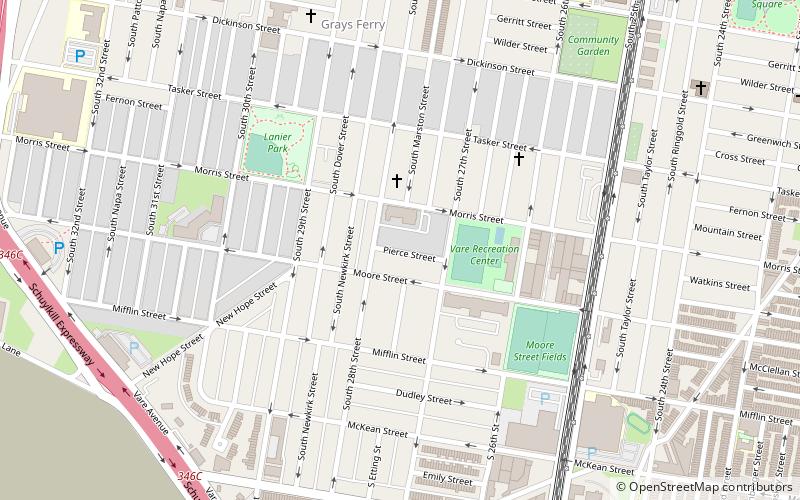
Anthony Wayne School is a historic former school building located in the Grays Ferry, Philadelphia, Pennsylvania neighborhood of Philadelphia, Pennsylvania. It was designed by Henry deCoursey Richards and built in 1908–1909. It is a four-story, five bay, reinforced concrete building clad in brick and in the Late Gothic Revival-style. It features a projecting entrance with terra cotta ornament, a projecting multi-story terra cotta bay, terra cotta decorative panels, and a parapet. The school was named for United States Army general and statesman Anthony Wayne. ()
Coordinates: 39°55'53"N, 75°11'28"W
Address
South Philadelphia (Grays Ferry)Philadelphia
ContactAdd
Social media
Add
Getting there by public transportation
Public transportation stops near this location
- Metro
- Bus
- Tram
- Train
 Metro
Metro
- Calculate route21331 20 min walk
- Calculate routeRittenhouse Sq & 18th St 41 min walk
- Calculate routeGrays Avenue & 49th Street 29 min walk
- Calculate route49th Street & Woodland Avenue 34 min walk
- Calculate routePenn Medicine 29 min walk
- Calculate routeSnyder 33 min walk
- Calculate routeOregon 38 min walk
Maps SEPTA Regional Rail
SEPTA Regional RailDay trips


Frequently Asked Questions (FAQ)
Which popular attractions are close to Anthony Wayne School?
Nearby attractions include Grays Ferry, Philadelphia (7 min walk), Universal Vare Charter School, Philadelphia (13 min walk), Delaplaine McDaniel School, Philadelphia (14 min walk), David Landreth School, Philadelphia (18 min walk).
How to get to Anthony Wayne School by public transport?
The nearest stations to Anthony Wayne School:
Bus
Tram
Train
Metro
Bus
- 21331 • Lines: 17 (20 min walk)
- Rittenhouse Sq & 18th St • Lines: 12 (41 min walk)
Tram
- Grays Avenue & 49th Street • Lines: 36 (29 min walk)
- 49th Street & Woodland Avenue • Lines: 36 (34 min walk)
Train
- Penn Medicine (29 min walk)
Metro
- Snyder • Lines: Bsl (33 min walk)
- Oregon • Lines: Bsl (38 min walk)