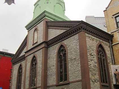
Ahrens Building, New York City
Map
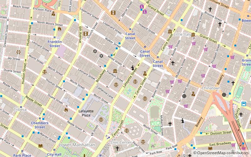
Map

Facts and practical information
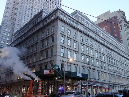
The Ahrens Building is a seven-story Romanesque Revival building in the Civic Center neighborhood of Manhattan, New York City. The building's design, by architect George Henry Griebel, blends polychrome brickwork, terra cotta and metal over a limestone base. The building was designated a New York City Landmark in 1992. ()
Coordinates: 40°43'1"N, 74°0'8"W
Address
Downtown Manhattan (Civic Center)New York City
ContactAdd
Social media
Add
Day trips
Ahrens Building – popular in the area (distance from the attraction)
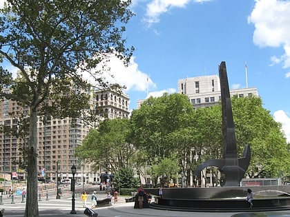
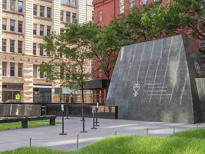
Nearby attractions include: 280 Broadway, Foley Square, Little Italy, African Burial Ground National Monument.
Frequently Asked Questions (FAQ)
Which popular attractions are close to Ahrens Building?
Nearby attractions include Postmasters Gallery, New York City (2 min walk), Mmuseumm, New York City (2 min walk), Collect Pond, New York City (2 min walk), Art in General, New York City (3 min walk).
How to get to Ahrens Building by public transport?
The nearest stations to Ahrens Building:
Metro
Bus
Ferry
Metro
- Canal Street • Lines: <6>, 4, 6, A, C, E, J, N, Q, R, W, Z (5 min walk)
Bus
- Broadway & Franklin Street • Lines: M55 (3 min walk)
Ferry
- Brookfield Place / Battery Park City Ferry Terminal (22 min walk)
- Pier 11/Wall Street Terminal (26 min walk)

 Subway
 Manhattan Buses