Campus Bay, Richmond
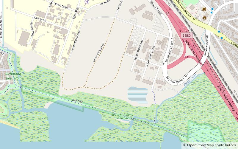
Map
Facts and practical information
Campus Bay is an 87-acre property in the city of Richmond, California located off Interstate 580, and situated between the San Francisco Bay, the Richmond Annex, and Point Isabel neighborhoods. The area receives its name from its proximity to the UC Berkeley Richmond Field Station. ()
Coordinates: 37°54'41"N, 122°19'48"W
Address
Marina BayRichmond
ContactAdd
Social media
Add
Getting there by public transportation
Public transportation stops near this location
- Metro
- Bus
 Metro
Metro
- Calculate routeRichmond Field Station 11 min walk
- Calculate routeHartnett Avenue & Carlson Boulevard 11 min walk
- Calculate routeCarlson Boulevard & Santa Clara Street 11 min walk
- Calculate routeEl Cerrito del Norte 31 min walk
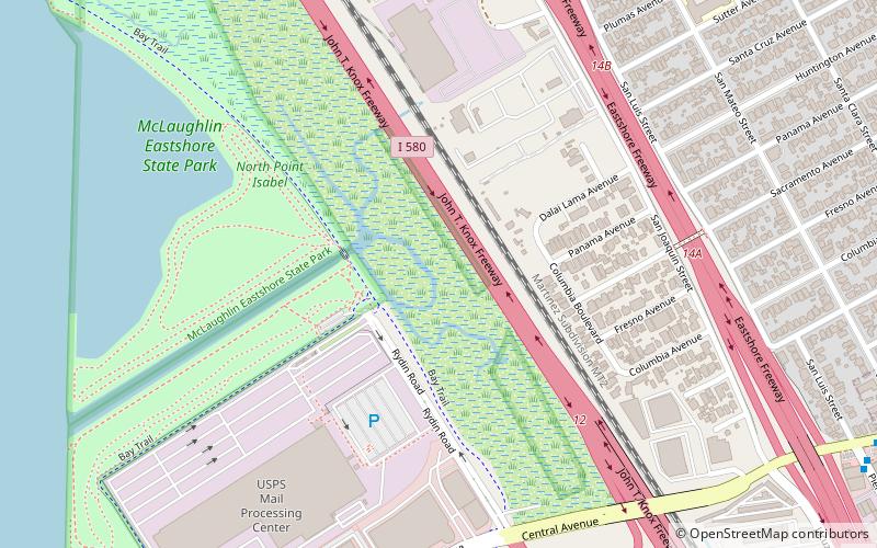
Day trips


Frequently Asked Questions (FAQ)
Which popular attractions are close to Campus Bay?
Nearby attractions include Point Isabel Regional Shoreline, Richmond (21 min walk), Hoffman Marsh, Richmond (22 min walk), Marina Bay, Richmond (23 min walk), Richmond Inner Harbor, Richmond (23 min walk).
How to get to Campus Bay by public transport?
The nearest stations to Campus Bay:
Bus
Metro
Bus
- Richmond Field Station • Lines: Rfs (11 min walk)
- Hartnett Avenue & Carlson Boulevard • Lines: 71 (11 min walk)
Metro
- El Cerrito del Norte • Lines: Orange, Red (31 min walk)