Richmond Inner Harbor, Richmond
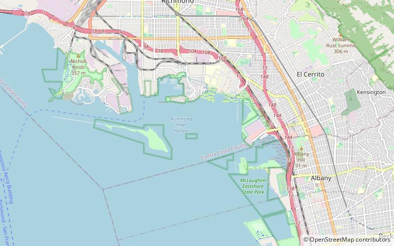
Map

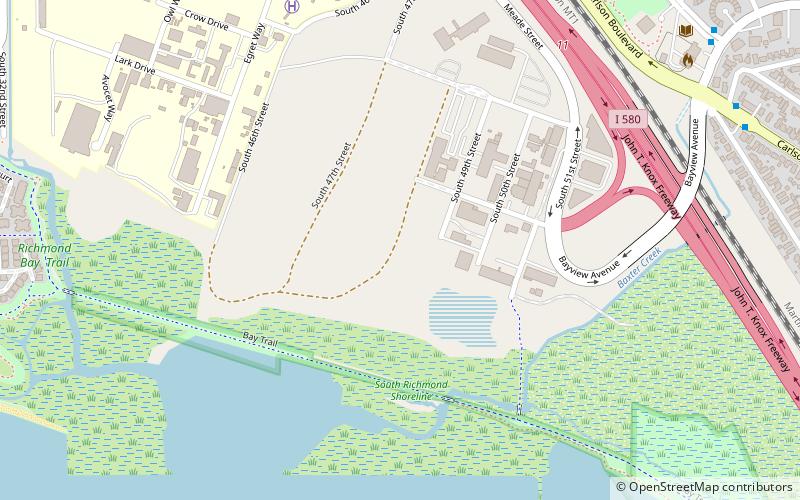
Map

Facts and practical information
Richmond Inner Harbor is a deepwater body of water in Richmond, California. ()
Coordinates: 37°54'7"N, 122°20'28"W
Address
Richmond
ContactAdd
Social media
Add
Day trips
Richmond Inner Harbor – popular in the area (distance from the attraction)
Nearby attractions include: Rosie the Riveter World War II Home Front National Historical Park, Point Isabel Regional Shoreline, Albany Bulb, Marina Bay.
Frequently Asked Questions (FAQ)
Which popular attractions are close to Richmond Inner Harbor?
Nearby attractions include Marina Bay, Richmond (23 min walk), Campus Bay, Richmond (23 min walk).
How to get to Richmond Inner Harbor by public transport?
The nearest stations to Richmond Inner Harbor:
Bus
Bus
- Regatta Facility • Lines: Rfs (26 min walk)
- Marina Bay Parkway & Regatta Boulevard • Lines: 74 (26 min walk)


