Trek Zone

Paradise Hills, San Diego

#311 among attractions in San Diego

Neighbourhood
Paradise Hills location map
Map

Facts and practical information
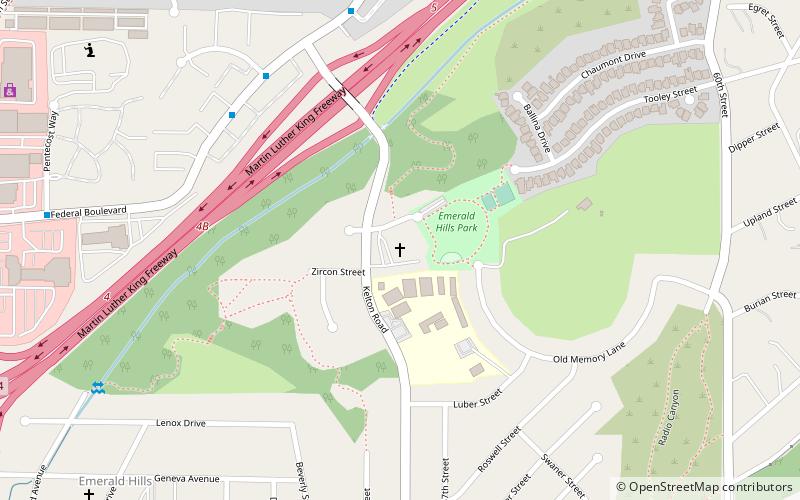
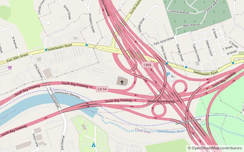
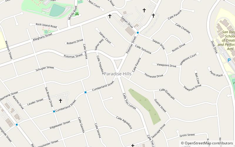
Coordinates: 32°40'42"N, 117°3'25"W
Address

Southeastern San Diego (Paradise Hills)San Diego United States

ContactAdd
Social media
Add
Day trips

Paradise Hills – popular in the area (distance from the attraction)

Nearby attractions include: Westfield Plaza Bonita, Christian Fellowship Congregational Church, Sweetwater Dam, St. Matthew's Episcopal Church.

  • westfield plaza bonita chula vista1.6 miS
  • christian fellowship congregational church san diego location map
    3.1 miN
  • sweetwater dam chula vista3 miE
  • st matthews episcopal church chula vista2.6 miW
  • chula vista golf course1.7 miSE
  • community congregational church of chula vista2.9 miSW
  • bonita museum and cultural center chula vista1.8 miSE
  • chula vista city hall location map
    3.1 miSW
  • national city chula vista location map
    2.5 miW
  • cornerstone church of san diego chula vista location map
    1.8 miSW
  • shelltown san diego3 miW

Where to next? Visit california California region page or discover the top tourist attractions in United States.