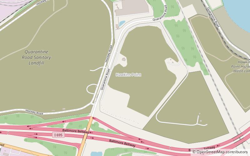
Hawkins Point, Baltimore
Map
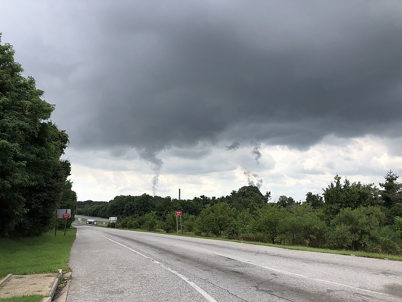
Gallery
Facts and practical information
Hawkins Point is a neighborhood in the South District of Baltimore, located at the southern tip of the city between Curtis Bay and the Anne Arundel County line and Thoms Cove. Its land area covers 2.6 square miles, and it had a population of 24 people according to the 2020 U.S. Census. The neighborhood is predominantly industrial. ()
Area: 2.62 mi²Coordinates: 39°12'28"N, 76°33'25"W
Address
Southern Baltimore (Hawkins Point)Baltimore
ContactAdd
Social media
Add
Day trips
Hawkins Point – popular in the area (distance from the attraction)
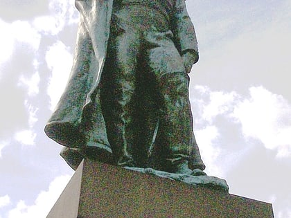
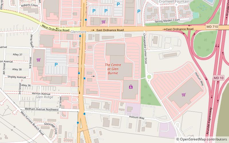
Nearby attractions include: Fort McHenry, Star-Spangled Banner National Historic Trail, Glen Burnie Ice Rink, Armistead Monument.


