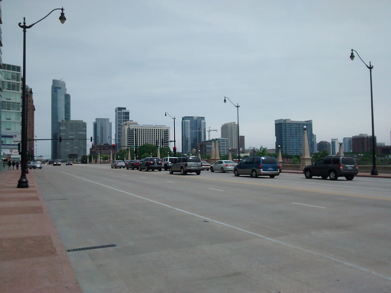
St. Charles Air Line Bridge, Chicago

Gallery (4)
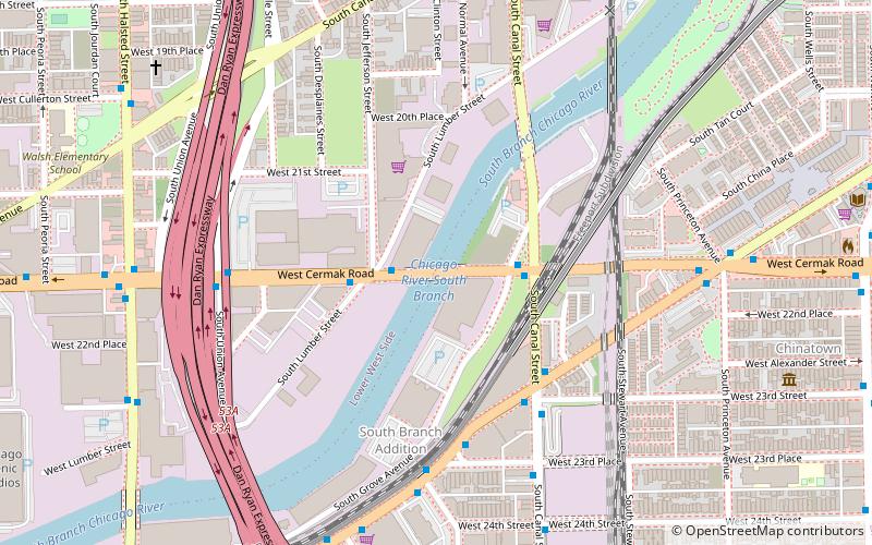
Map

Map
Gallery
Facts and practical information
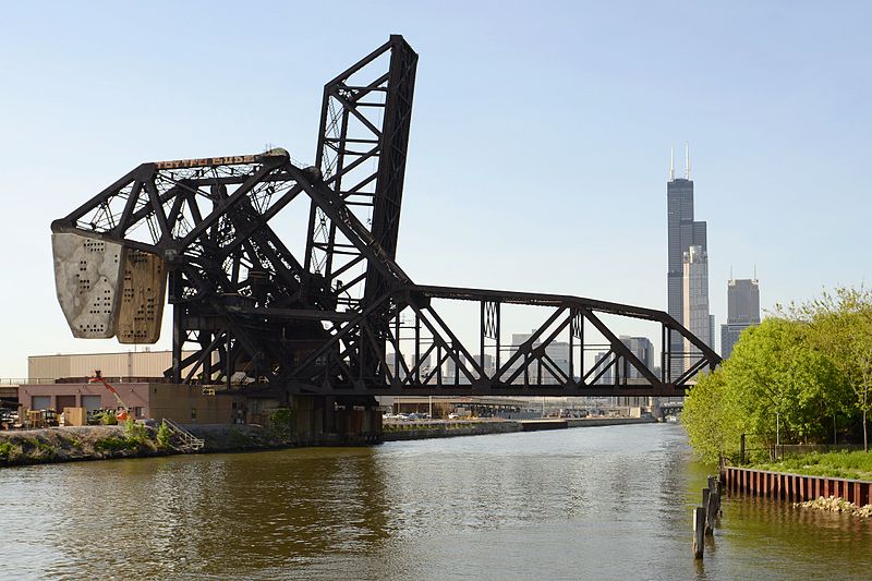
The St. Charles Air Line Bridge is a Strauss Trunnion bascule bridge which spans the Chicago River in Chicago, Illinois. ()
Opened: 1919 (107 years ago)Coordinates: 41°51'39"N, 87°38'5"W
Getting there by public transportation
Public transportation stops near this location
- Metro
- Bus
- Train
 Metro
Metro
- Calculate routeClark & 15th Street 6 min walk
- Calculate routeState & 15th Street 10 min walk
- Calculate routeCermak-Chinatown 14 min walk
- Calculate routeRoosevelt 16 min walk
- Calculate routeCermak-McCormick Place 19 min walk
- Calculate routeHarrison 26 min walk
- Calculate routeHalsted Street 17 min walk
- Calculate routeMuseum Campus/11th Street 23 min walk
- Calculate route18th Street 23 min walk
- Calculate routeLaSalle Street Station 26 min walk
Maps Rail "L"
Rail "L"Day trips


Frequently Asked Questions (FAQ)
Which popular attractions are close to St. Charles Air Line Bridge?
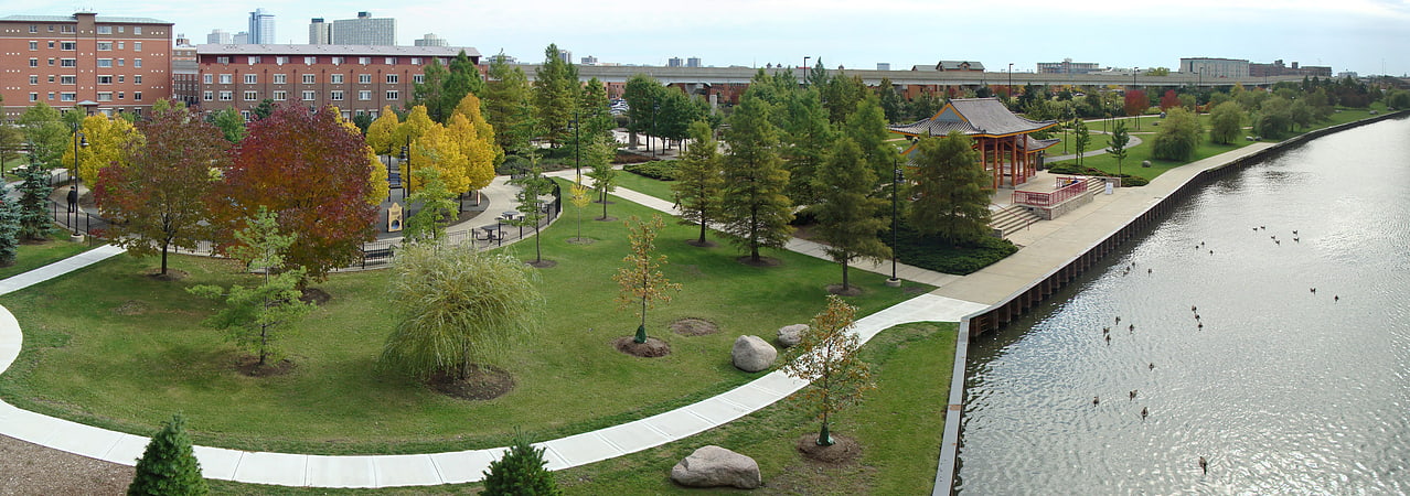
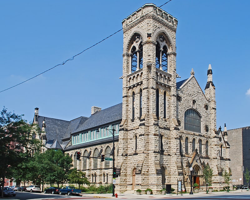
Nearby attractions include Ping Tom Memorial Park, Chicago (6 min walk), Schoenhofen Brewery Historic District, Chicago (9 min walk), Canal Street Railroad Bridge, Chicago (10 min walk), The Levee, Chicago (12 min walk).
How to get to St. Charles Air Line Bridge by public transport?
The nearest stations to St. Charles Air Line Bridge:
Bus
Metro
Train
Bus
- Clark & 15th Street • Lines: 24 (6 min walk)
- State & 15th Street • Lines: 29, 62 (10 min walk)
Metro
- Cermak-Chinatown • Lines: Red (14 min walk)
- Roosevelt • Lines: Green, Orange, Red (16 min walk)
Train
- Halsted Street (17 min walk)
- Museum Campus/11th Street (23 min walk)