Inglewood-Finn Hill, Kirkland
Map
Facts and practical information
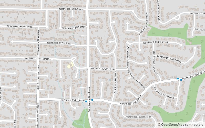
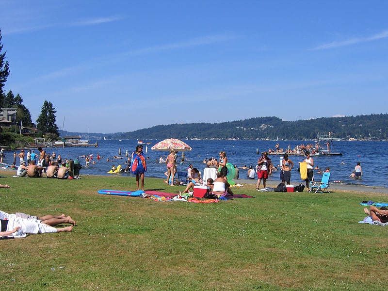
Inglewood-Finn Hill was a census-designated place in King County, Washington, United States. The population was 22,707 at the 2010 census. The community was largely annexed into neighboring Kirkland in 2011. ()
Address
Finn HillKirkland
ContactAdd
Social media
Add
Getting there by public transportation
Public transportation stops near this location
- Bus
 Bus
Bus
- Calculate routeNE 134th St & 90th Ave NE 4 min walk
- Calculate routeNE 132nd St & 86th Ave NE 11 min walk
- Calculate route84th Ave NE & NE 138th St 12 min walk
Day trips


Frequently Asked Questions (FAQ)
How to get to Inglewood-Finn Hill by public transport?
The nearest stations to Inglewood-Finn Hill:
Bus
Bus
- NE 134th St & 90th Ave NE • Lines: 225 (4 min walk)
- NE 132nd St & 86th Ave NE • Lines: 225 (11 min walk)