Congregation Shaarie Torah Cemetery, Portland
Map
Facts and practical information
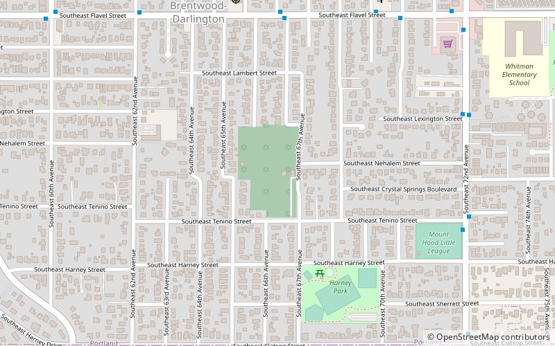
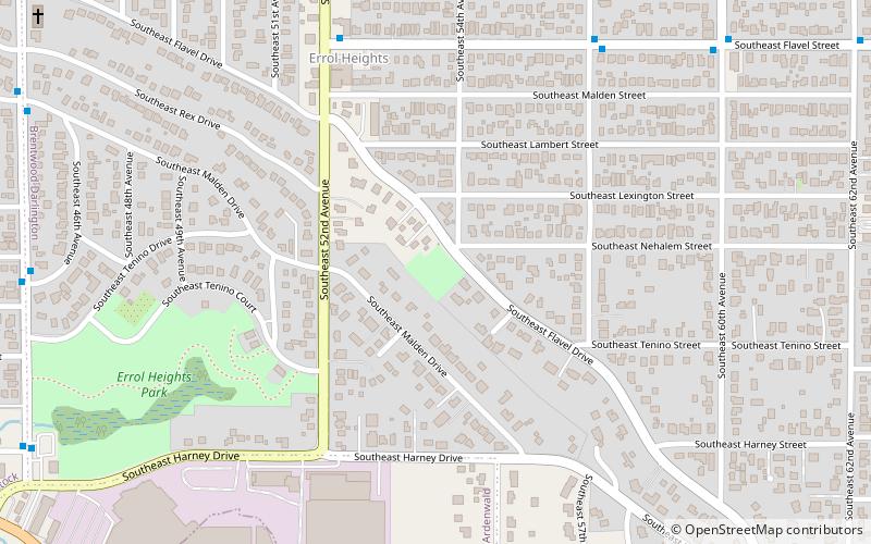
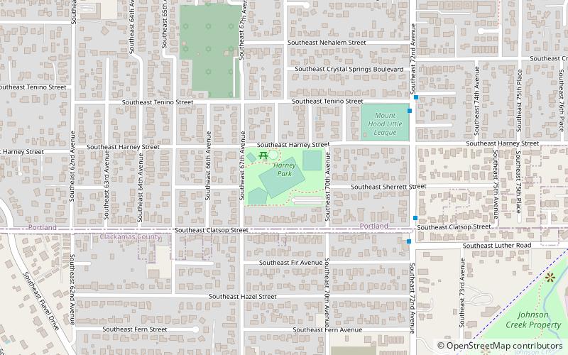
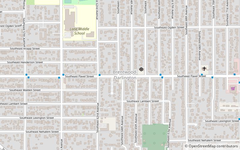
Congregation Shaarie Torah Cemetery is an historic Jewish cemetery in southeast Portland, Oregon's Brentwood-Darlington neighborhood, in the United States. ()
Coordinates: 45°27'55"N, 122°35'43"W
Address
Southeast Uplift (Brentwood-Darlington)Portland
ContactAdd
Social media
Add
Getting there by public transportation
Public transportation stops near this location
- Bus
- Light rail
 Bus
Bus
- Calculate routeSoutheast Flavel & 66th Place 6 min walk
- Calculate routeSoutheast Fuller Road 34 min walk
Day trips


Frequently Asked Questions (FAQ)
Which popular attractions are close to Congregation Shaarie Torah Cemetery?
Nearby attractions include Harney Park, Portland (6 min walk), Brentwood-Darlington, Portland (8 min walk), Hazeltine Park, Portland (16 min walk), Flavel Park, Portland (20 min walk).
How to get to Congregation Shaarie Torah Cemetery by public transport?
The nearest stations to Congregation Shaarie Torah Cemetery:
Bus
Light rail
Bus
- Southeast Flavel & 66th Place • Lines: 71 (6 min walk)
Light rail
- Southeast Fuller Road • Lines: Green (34 min walk)