Spyglass-Barton's Bluff, Austin
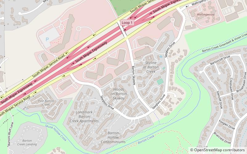
Map
Facts and practical information
Spyglass-Barton's Bluff is a neighborhood in Austin, Texas. It is located southwest of the city's urban core, and encompasses ZIP codes 78746 and 78704. ()
Coordinates: 30°15'36"N, 97°47'22"W
Address
South Austin (Barton Hills)Austin
ContactAdd
Social media
Add
Getting there by public transportation
Public transportation stops near this location
- Train
 Train
Train
- Calculate routeZilker Zephyr 31 min walk
Day trips


Frequently Asked Questions (FAQ)
Which popular attractions are close to Spyglass-Barton's Bluff?
Nearby attractions include Montopolis, Austin (14 min walk), Barton Hills, Austin (14 min walk), East Cesar Chavez, Austin (14 min walk), South River City, Austin (14 min walk).
How to get to Spyglass-Barton's Bluff by public transport?
The nearest stations to Spyglass-Barton's Bluff:
Train
Train
- Zilker Zephyr (31 min walk)