Whittier Narrows, Los Angeles
Map
Gallery
Facts and practical information
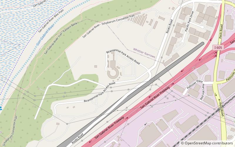
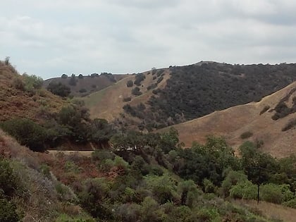
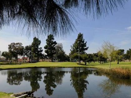
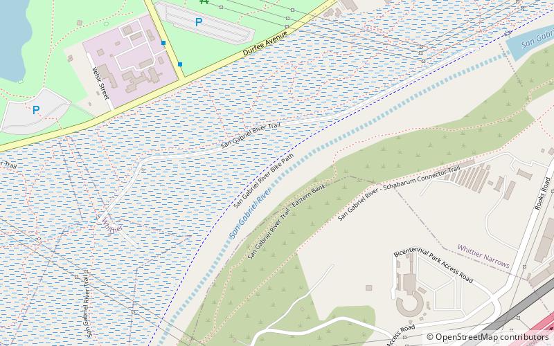
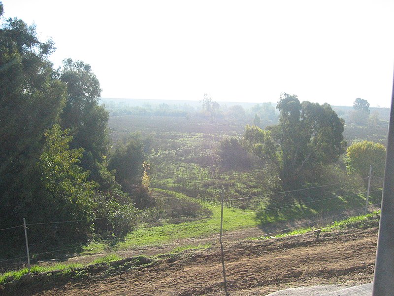
The Whittier Narrows is a narrows or water gap in the San Gabriel Valley of Los Angeles County, California, United States, between the Puente Hills to the east and the Montebello Hills to the west. The gap is located at the southern boundary of the San Gabriel Valley, through which the Rio Hondo and the San Gabriel River flow to enter the Los Angeles Basin. The Narrows is located near the convergence of Interstate 605 and California State Route 60. ()
Coordinates: 34°1'45"N, 118°2'58"W
Address
Whittier NarrowsLos Angeles
ContactAdd
Social media
Add
Day trips
Whittier Narrows – popular in the area (distance from the attraction)
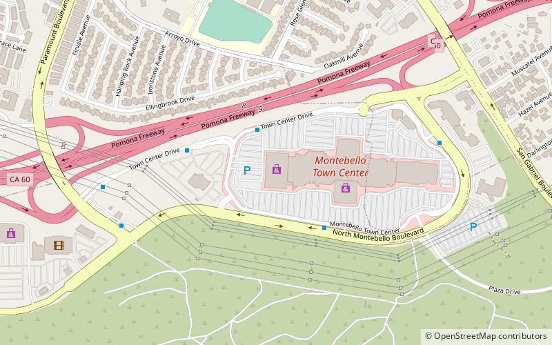
Nearby attractions include: The Shops at Montebello, Pico Rivera Sports Arena, Savannah Memorial Park, Turnbull Canyon.

 Metro & Regional Rail