Transbay Tube, Oakland

Gallery (1)
Map
Map
Facts and practical information
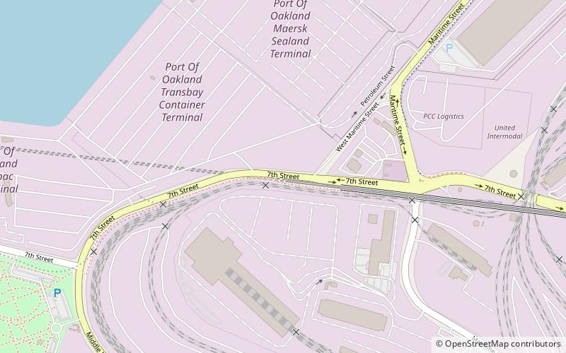
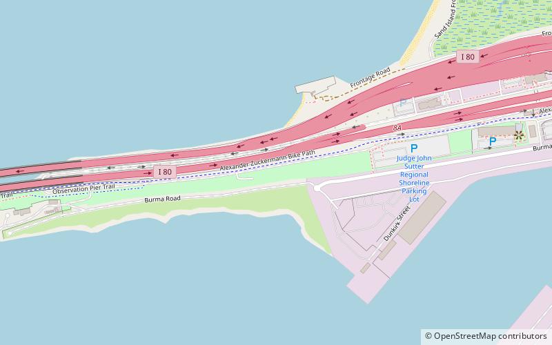
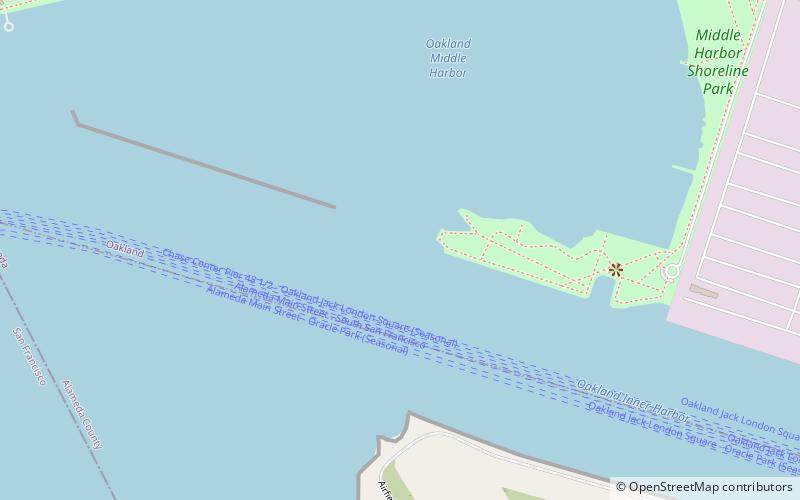
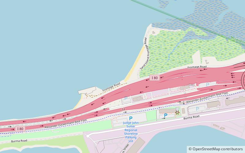
The Transbay Tube is an underwater rail tunnel that carries Bay Area Rapid Transit's four transbay lines under San Francisco Bay between the cities of San Francisco and Oakland in California. The tube is 3.6 miles long, and attaches to twin bored tunnels. The underground section of rail between the nearest stations totals 6 miles in length. The tube has a maximum depth of 135 feet below sea level. ()
Address
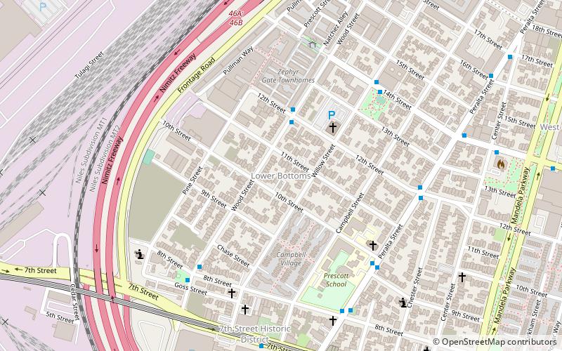
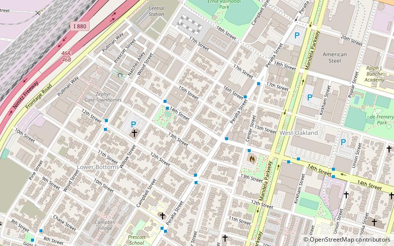
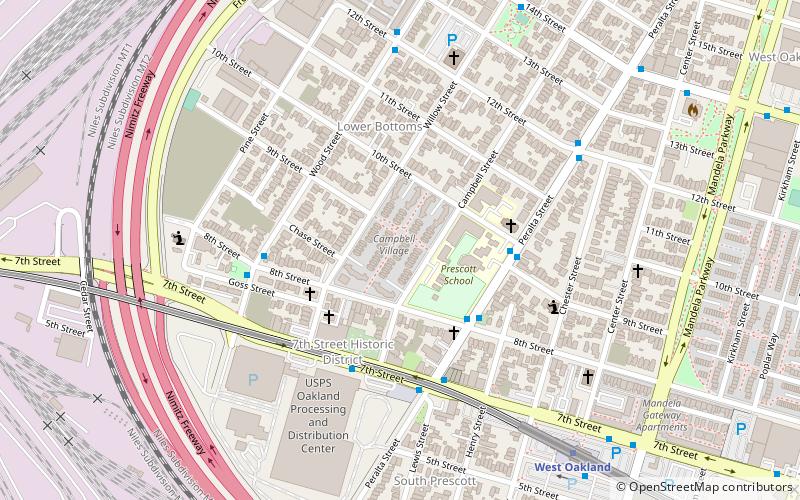
West Oakland (Port of Oakland)Oakland
ContactAdd
Social media
Add
Getting there by public transportation
Public transportation stops near this location
- Metro
- Bus
 Metro
Metro
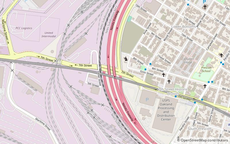
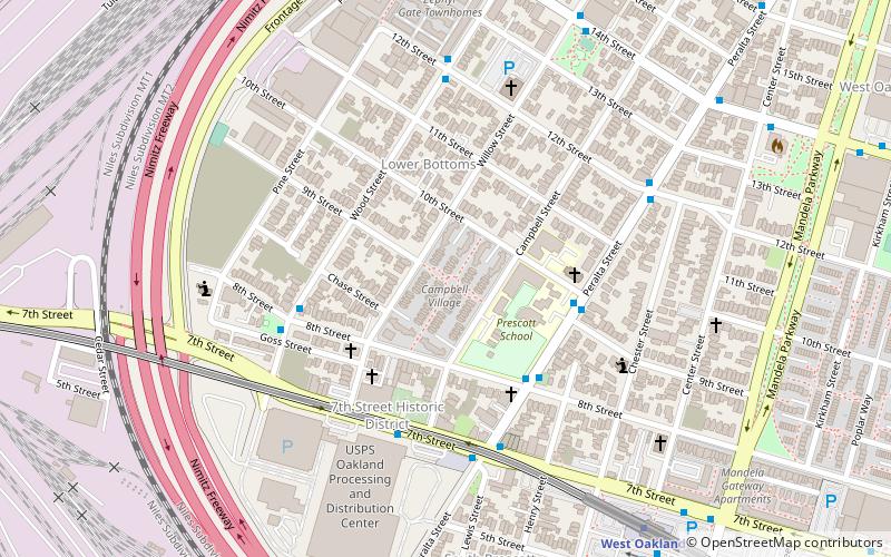
- Calculate routeWood Street & 8th Street 20 min walk
- Calculate route7th Street & Campbell Street 23 min walk
- Calculate routeWest Oakland 30 min walk
Day trips


Frequently Asked Questions (FAQ)
Which popular attractions are close to Transbay Tube?
Nearby attractions include Oakland Point, Oakland (17 min walk), Middle Harbor Shoreline Park, Oakland (18 min walk), Village Bottoms, Oakland (24 min walk).
How to get to Transbay Tube by public transport?
The nearest stations to Transbay Tube:
Bus
Metro
Bus
- Wood Street & 8th Street • Lines: 14 (20 min walk)
- 7th Street & Campbell Street • Lines: 14, 800 (23 min walk)
Metro
- West Oakland • Lines: Blue, Green, Red, Yellow (30 min walk)