Oakland Point, Oakland
Map
Facts and practical information
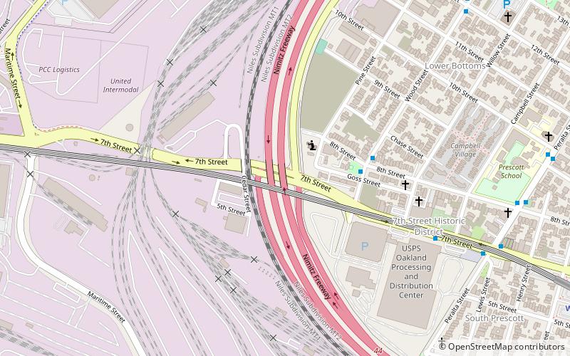
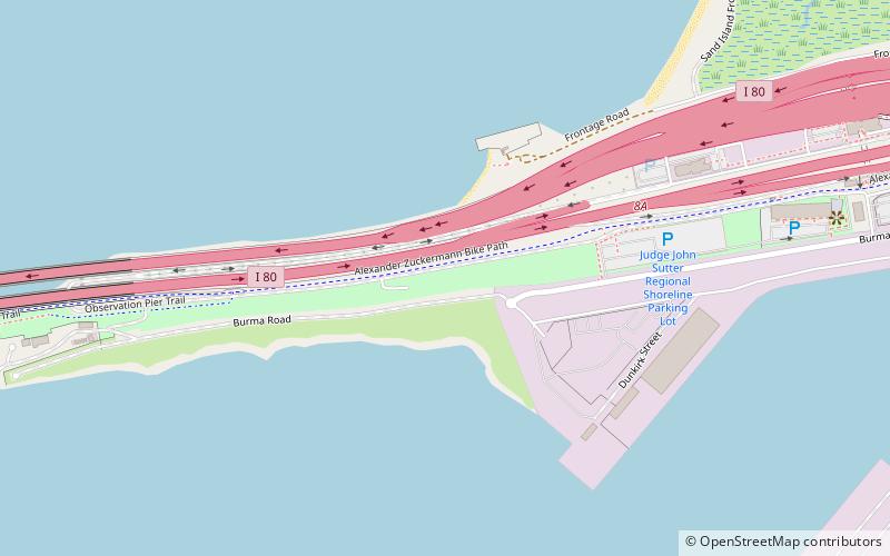
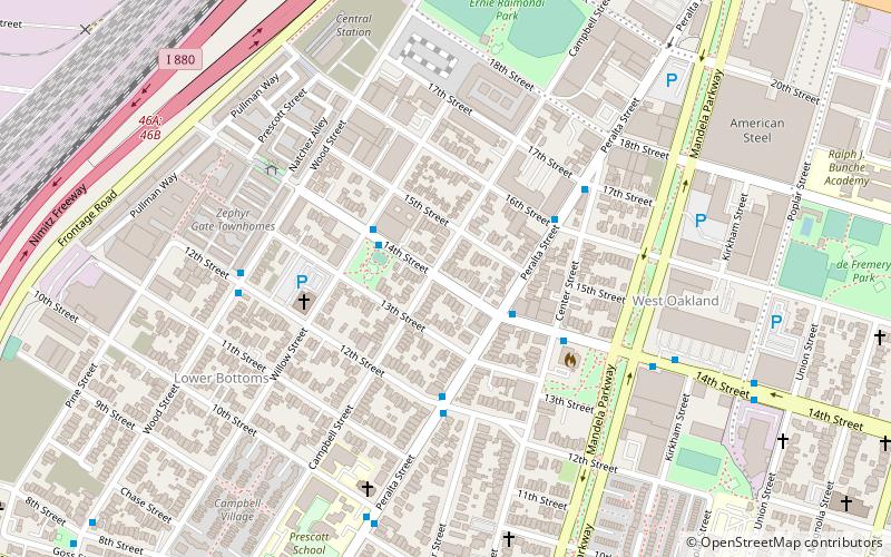
Oakland Point, or Gibbons' Point, was a small promontory formerly on the eastern shore of San Francisco Bay in West Oakland, California. It was located in the vicinity of what is now the Port of Oakland shipping terminal. ()
Coordinates: 37°48'28"N, 122°18'16"W
Address
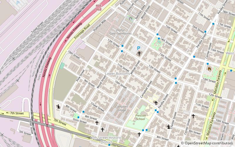
West Oakland (South Prescott)Oakland
ContactAdd
Social media
Add
Getting there by public transportation
Public transportation stops near this location
- Metro
- Bus
- Ferry
 Metro
Metro
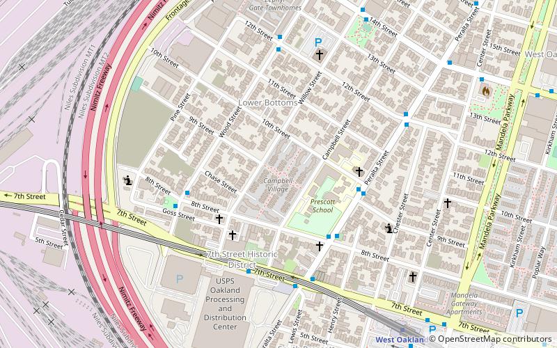
- Calculate routeWood Street & 8th Street 4 min walk
- Calculate route7th Street & Campbell Street 7 min walk
- Calculate route7th Street & Peralta Street 10 min walk
- Calculate routeWest Oakland 14 min walk
- Calculate routeAlameda Main Street Terminal 33 min walk
Day trips


Frequently Asked Questions (FAQ)
Which popular attractions are close to Oakland Point?
Nearby attractions include Campbell Village Court, Oakland (8 min walk), Campbell Village, Oakland (8 min walk), Village Bottoms, Oakland (9 min walk), Liberty Hall, Oakland (15 min walk).
How to get to Oakland Point by public transport?
The nearest stations to Oakland Point:
Bus
Metro
Ferry
Bus
- Wood Street & 8th Street • Lines: 14 (4 min walk)
- 7th Street & Campbell Street • Lines: 14, 800 (7 min walk)
Metro
- West Oakland • Lines: Blue, Green, Red, Yellow (14 min walk)
Ferry
- Alameda Main Street Terminal • Lines: San Francisco Bay Ferry (33 min walk)