Parkfairfax, Alexandria
Map
Gallery
Facts and practical information
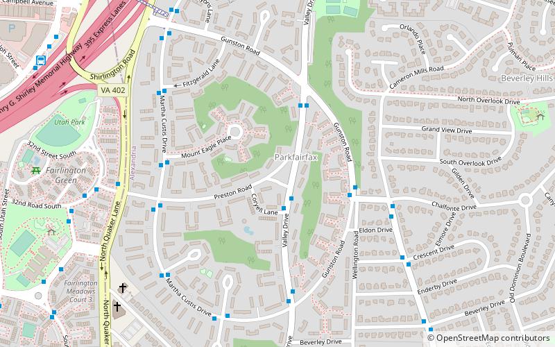
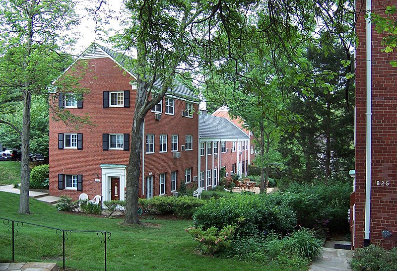
Parkfairfax is a neighborhood in Alexandria, Virginia, United States, located in the northwestern part of the city near the boundary with Arlington County. Nearby thoroughfares are Interstate 395, State Route 402, and West Glebe Road. ()
Coordinates: 38°50'12"N, 77°4'48"W
Address
Alexandria (North Ridge - Rosemont)Alexandria
ContactAdd
Social media
Add
Day trips
Parkfairfax – popular in the area (distance from the attraction)
Nearby attractions include: The Village at Shirlington, The Birchmere, Fort Ward, Washington and Old Dominion Railroad Regional Park.
Frequently Asked Questions (FAQ)
Which popular attractions are close to Parkfairfax?
Nearby attractions include Agudas Achim Congregation, Alexandria (11 min walk), Washington and Old Dominion Railroad Regional Park, Alexandria (12 min walk), Westminster Presbyterian Church, Alexandria (16 min walk), Signature Theatre, Arlington (16 min walk).
How to get to Parkfairfax by public transport?
The nearest stations to Parkfairfax:
Bus
Bus
- Valley Dr + Preston Rd • Lines: At3/4, At4 (2 min walk)
- Valley Dr + Preston Rd • Lines: At4 (2 min walk)


