Newark Plank Road, Newark
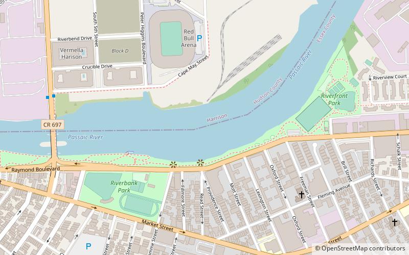
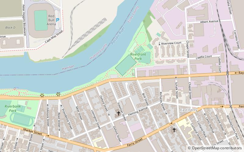
Map
Gallery
Facts and practical information
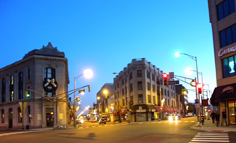
The Newark Plank Road was a major artery between Hudson Waterfront at Paulus Hook and city of Newark further inland across the New Jersey Meadows. As its name suggests, a plank road was constructed of wooden planks laid side-to-side on a roadbed. Similar roads, the Bergen Point Plank Road, the Hackensack Plank Road and Paterson Plank Road, travelled to the locales for which they are named. The name is no longer used, the route having been absorbed into other streets and freeways. ()
Coordinates: 40°44'2"N, 74°8'41"W
Address
North IronboundNewark
ContactAdd
Social media
Add
Day trips
Newark Plank Road – popular in the area (distance from the attraction)
Nearby attractions include: Red Bull Arena, Newark Riverfront Park, New Jersey Performing Arts Center, Bridge Street Bridge.
Frequently Asked Questions (FAQ)
Which popular attractions are close to Newark Plank Road?
Nearby attractions include Newark Riverfront Park, Newark (6 min walk), Riverbank Park, Newark (11 min walk), Jackson Street Bridge, Newark (15 min walk), St. Stephan's Church, Newark (19 min walk).
How to get to Newark Plank Road by public transport?
The nearest stations to Newark Plank Road:
Metro
Bus
Light rail
Train
Metro
- Harrison • Lines: Nwk–Wtc (18 min walk)
- Newark Penn Station • Lines: Nwk–Wtc (26 min walk)
Bus
- Newark Penn Station • Lines: 62 (25 min walk)
- Newark Penn Bus Terminal (26 min walk)
Light rail
- Newark Penn Station • Lines: Nlr (26 min walk)
- NJPAC/Center Street • Lines: Nlr (30 min walk)
Train
- Newark Penn Station (26 min walk)


