Port of Richmond, Richmond

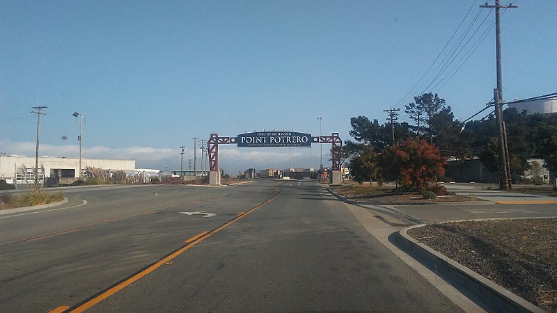
Gallery (2)
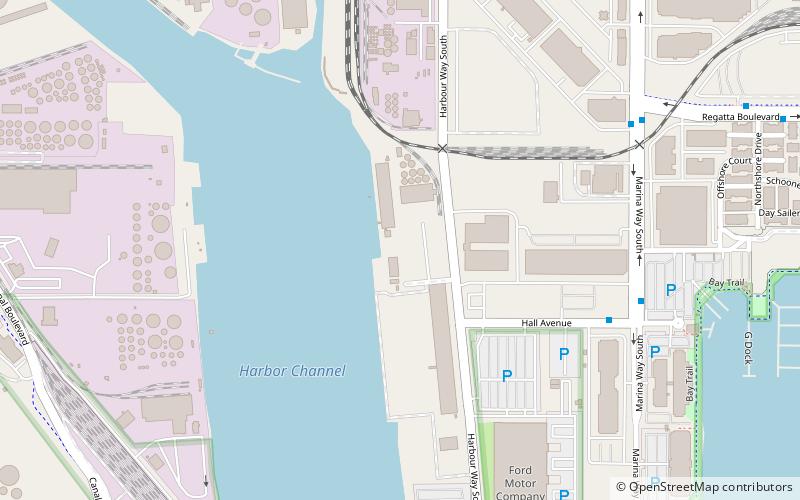
Map
Map
Gallery
Facts and practical information
For other ports with similar names see: Port Richmond ()
Opened: 1980 (46 years ago)Coordinates: 37°54'54"N, 122°21'40"W
Getting there by public transportation
Public transportation stops near this location
- Bus
 Bus
Bus
- Calculate routeHall Avenue & Marina Way South 7 min walk
- Calculate routeMarina Way South & Regatta Boulevard 8 min walk
- Calculate routeHarbour Way South & Ford Point 10 min walk
Day trips


Frequently Asked Questions (FAQ)
Which popular attractions are close to Port of Richmond?
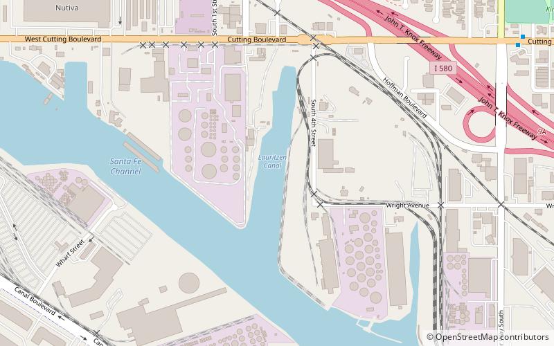
Nearby attractions include Rosie the Riveter World War II Home Front National Historical Park, Richmond (11 min walk), Lauritzen Canal, Richmond (15 min walk), Wapama, Richmond (19 min walk), SS Red Oak Victory, Richmond (19 min walk).
How to get to Port of Richmond by public transport?
The nearest stations to Port of Richmond:
Bus
Bus
- Hall Avenue & Marina Way South • Lines: 74 (7 min walk)
- Marina Way South & Regatta Boulevard • Lines: 74 (8 min walk)