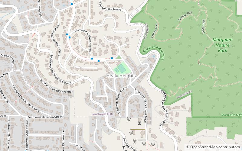
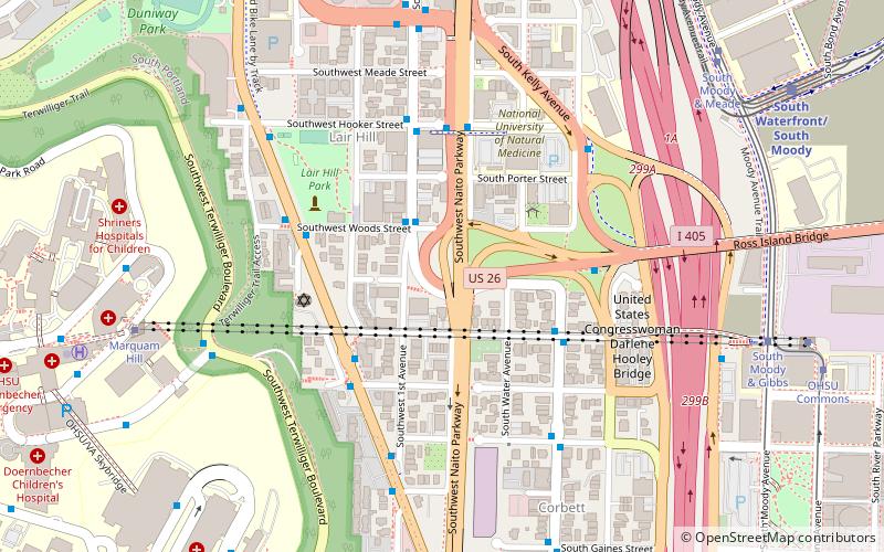
Healy Heights, Portland
Map

Map

Facts and practical information
Healy Heights is a Portland, Oregon neighborhood in the West Hills of the city's Southwest section. Though recognized by the city as a neighborhood in its own right, it lies entirely within the boundaries of the city's Southwest Hills neighborhood. ()
Coordinates: 45°29'33"N, 122°41'55"W
Day trips
Healy Heights – popular in the area (distance from the attraction)
Nearby attractions include: Portland Aerial Tram, Council Crest Park, Lair Hill Park, 40-Mile Loop.
Frequently Asked Questions (FAQ)
Which popular attractions are close to Healy Heights?
Nearby attractions include Homestead, Portland (16 min walk), Marquam Hill, Portland (16 min walk), Pioneer Woman, Portland (16 min walk), Council Crest Park, Portland (16 min walk).
How to get to Healy Heights by public transport?
The nearest stations to Healy Heights:
Bus
Light rail
Tram
Bus
- Southwest Patrick & Council Crest • Lines: 51 (2 min walk)
- 4100 Block Southwest Council Crest • Lines: 51 (3 min walk)
Light rail
- PSU South/Southwest 5th & Jackson • Lines: Green, Orange (35 min walk)
- PSU South/Southwest 6th & College • Lines: Green, Orange, Yellow (35 min walk)
Tram
- Southwest Harrison Street • Lines: A, Ns (40 min walk)


