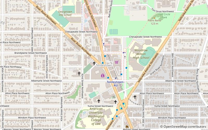
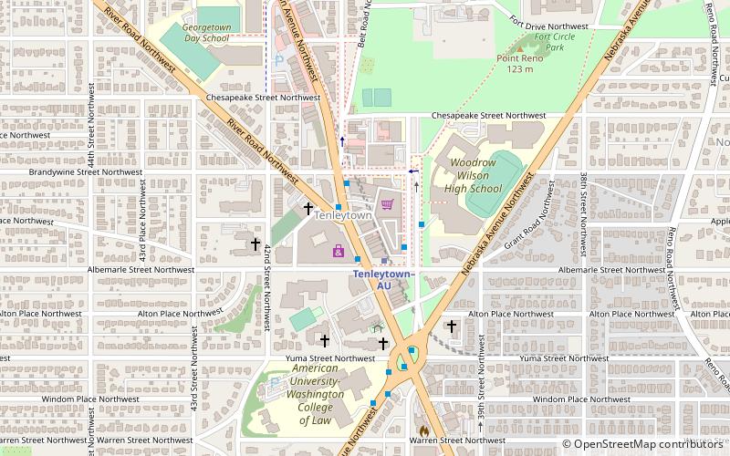
Tenleytown, Washington D.C.
Map
Facts and practical information
Tenleytown is a historic neighborhood in Northwest, Washington, D.C. ()
Coordinates: 38°56'56"N, 77°4'49"W
Address
Northwest Washington (AU Park - Friendship Heights - Tenley)Washington D.C.
ContactAdd
Social media
Add
Getting there by public transportation
Public transportation stops near this location
- Metro
- Bus
 Metro
Metro
- Calculate routeTenleytown–AU 2 min walk
- Calculate routeFriendship Heights 21 min walk
- Calculate routeFriendship Heights Metro 23 min walk
- Calculate routeSouth Campus 29 min walk
Day trips


Frequently Asked Questions (FAQ)
Which popular attractions are close to Tenleytown?
Nearby attractions include Tenley-Friendship Neighborhood Library, Washington D.C. (1 min walk), The Methodist Cemetery, Washington D.C. (2 min walk), Eldbrooke United Methodist Church, Washington D.C. (2 min walk), Convent de Bon Secours, Washington D.C. (5 min walk).
How to get to Tenleytown by public transport?
The nearest stations to Tenleytown:
Metro
Bus
Metro
- Tenleytown–AU • Lines: Rd (2 min walk)
- Friendship Heights • Lines: Rd (21 min walk)
Bus
- Friendship Heights Metro • Lines: 1, 11, 23, 29, 30N, 30S, 31, 33, 34, 37, E4, E6, L2, L8, N2, N4, N6, T2 (23 min walk)
- South Campus • Lines: White Route (29 min walk)