North Oakland, Oakland
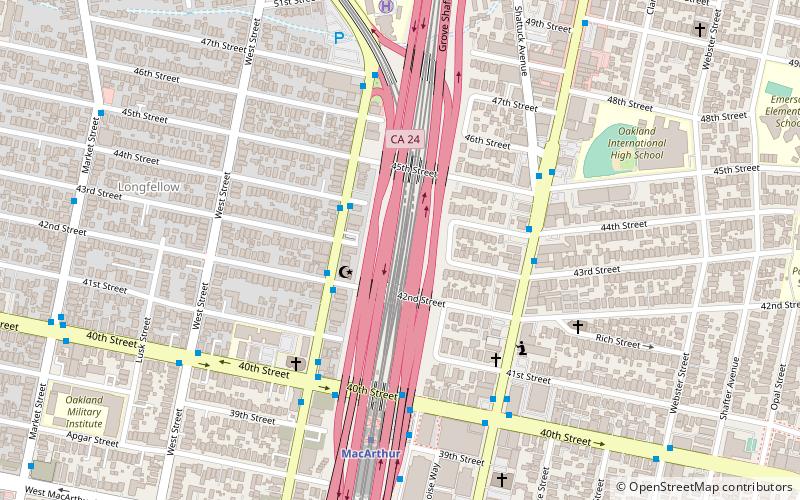
Map
Facts and practical information
North Oakland is an area in Oakland, California, United States, bordered by Downtown Oakland, Oakland Hills, and the adjacent cities of Berkeley, Emeryville and Piedmont. Annexed to Oakland in 1897. It is known as the birthplace of the Black Panther Party and is the childhood home of both the co-founders, which are Dr. Huey P. Newton and Bobby Seale. It is also the birthplace and childhood home of Sue Draheim, internationally recognized fiddler. ()
Coordinates: 37°49'55"N, 122°15'59"W
Address
North Oakland (Longfellow)Oakland
ContactAdd
Social media
Add
Getting there by public transportation
Public transportation stops near this location
- Metro
- Bus
 Metro
Metro
- Calculate routeMartin Luther King Junior Way & 44th Street 3 min walk
- Calculate routeTelegraph Avenue & 44th Street 4 min walk
- Calculate routeMacArthur 6 min walk
- Calculate routeRockridge 31 min walk
Day trips


Frequently Asked Questions (FAQ)
Which popular attractions are close to North Oakland?
Nearby attractions include Longfellow, Oakland (8 min walk), Temescal, Oakland (14 min walk), Mosswood Park, Oakland (17 min walk), J. Mora Moss House, Oakland (19 min walk).
How to get to North Oakland by public transport?
The nearest stations to North Oakland:
Bus
Metro
Bus
- Martin Luther King Junior Way & 44th Street • Lines: 18 (3 min walk)
- Telegraph Avenue & 44th Street • Lines: 6, 800 (4 min walk)
Metro
- MacArthur • Lines: Orange, Red, Yellow (6 min walk)
- Rockridge • Lines: Yellow (31 min walk)