W. O. Decker, New York City
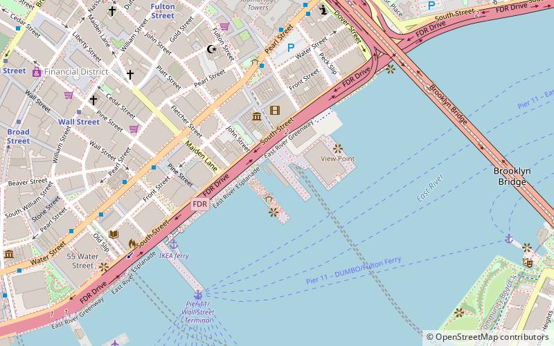
Map
Facts and practical information
The W. O. Decker is a 52 foot wooden tugboat built in Long Island City in 1930 as the Russell I for the Newtown Creek Towing Company. The Decker tugboat company on Staten Island bought and renamed the boat in 1946. She was originally steam powered before being refitted with a 175 hp diesel engine. In 1986, she was donated to the South Street Seaport Museum in Manhattan, where she remains today under restoration. She was added to the National Register of Historic Places on September 13, 1996. ()
Address
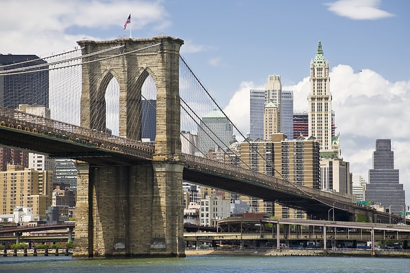
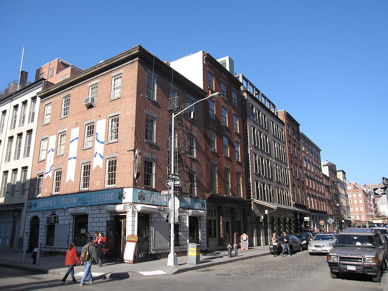
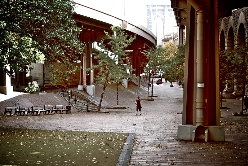
Downtown Manhattan (Financial District)New York City
ContactAdd
Social media
Add
Getting there by public transportation
Public transportation stops near this location
- Metro
- Bus
- Ferry
 Metro
Metro
- Calculate routePearl St & Fulton St 5 min walk
- Calculate routeWater St & Wall St 6 min walk
- Calculate routeBroadway & Barclay Street 14 min walk
- Calculate routeTrinity Place/Rector Street 14 min walk
- Calculate routePier 11/Wall Street Terminal 6 min walk
- Calculate routeWhitehall 16 min walk
- Calculate routeBattery Park 20 min walk
- Calculate routeBrookfield Place / Battery Park City Ferry Terminal 27 min walk
- Calculate routeWall Street 11 min walk
- Calculate routeFulton Street 11 min walk
Maps SubwayMaps
 Manhattan Buses
SubwayMapsManhattan BusesDay trips


Frequently Asked Questions (FAQ)
Which popular attractions are close to W. O. Decker?
Nearby attractions include Peking Ship, New York City (1 min walk), Admiral Dewey, New York City (1 min walk), Wavertree Ship, New York City (1 min walk), Ambrose, New York City (1 min walk).
How to get to W. O. Decker by public transport?
The nearest stations to W. O. Decker:
Bus
Ferry
Metro
Bus
- Pearl St & Fulton St • Lines: M15, M15-Sbs (5 min walk)
- Water St & Wall St • Lines: M15, M15-Sbs (6 min walk)
Ferry
- Pier 11/Wall Street Terminal (6 min walk)
- Whitehall • Lines: Sif (16 min walk)
Metro
- Wall Street • Lines: 2, 3, 4, 5 (11 min walk)
- Fulton Street • Lines: 2, 3, 4, 5, A, C, J, Z (11 min walk)