Norfolk Auto Row Historic District, Norfolk

Facts and practical information
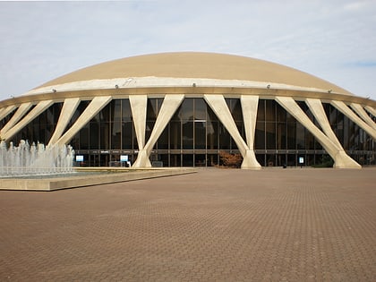
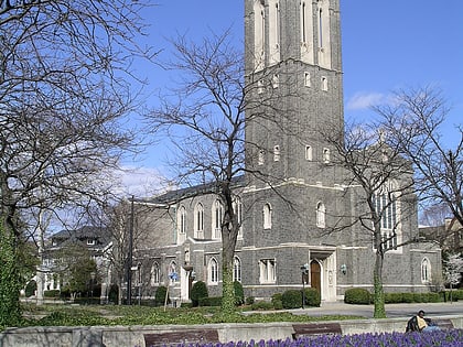
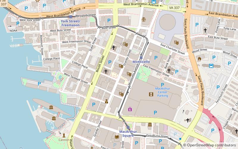
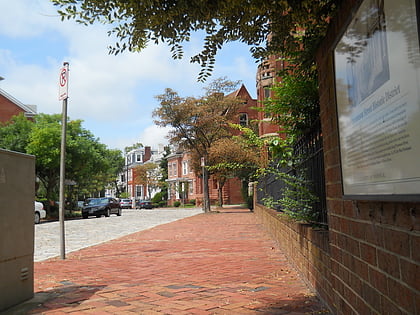
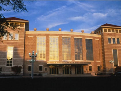
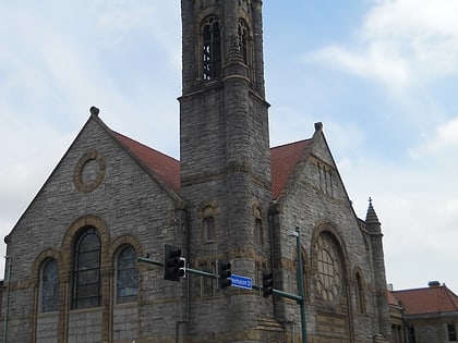
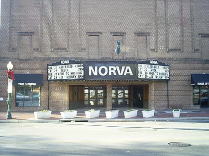
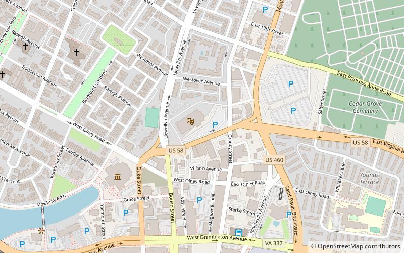
The Norfolk Auto Row Historic District encompasses a commercial district just outside the downtown area of Norfolk, Virginia. The area is bounded on the south by West Brambleton Avenue, on the east by Monticello Avenue, on the north by East 13th Street, and on the west by Llewelllyn Avenue and Granby and Boush streets. The area was originally developed as a low-income housing area early in the 20th century, but was by the mid-20th century completely transformed into an area of commercial development, mainly for the sales and service of automobiles. The district features buildings that are mostly one and two stories, although there is one 14-story skyscraper. One notable structure in the district is the Harrison Opera House, built in 1944 as an Army and Navy USO facility; it served as the city's major performance venue until it was eclipsed in 1970 by the construction of the Norfolk Scope arena. ()
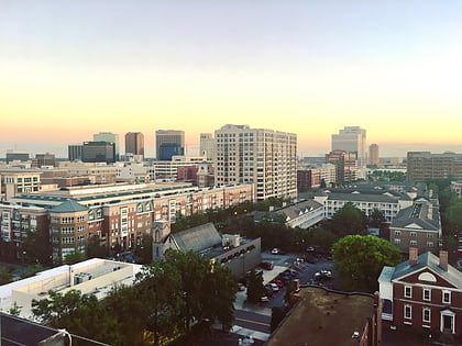
Downtown NorfolkNorfolk
Norfolk Auto Row Historic District – popular in the area (distance from the attraction)
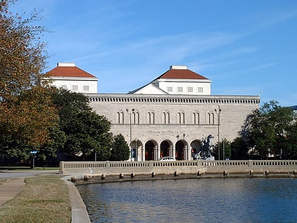
Nearby attractions include: Chrysler Museum of Art, MacArthur Center, Norfolk Scope, Downtown Norfolk.
Frequently Asked Questions (FAQ)
Which popular attractions are close to Norfolk Auto Row Historic District?
How to get to Norfolk Auto Row Historic District by public transport?
Bus
- Norfolk Greyhound Station (7 min walk)
- Norfolk Downtown Transit Center (16 min walk)
Light rail
- York Street/Freemason • Lines: Tide (11 min walk)
- Monticello • Lines: Tide (13 min walk)
Ferry
- Waterside • Lines: Elizabeth River Ferry (27 min walk)
Train
- Norfolk (32 min walk)

