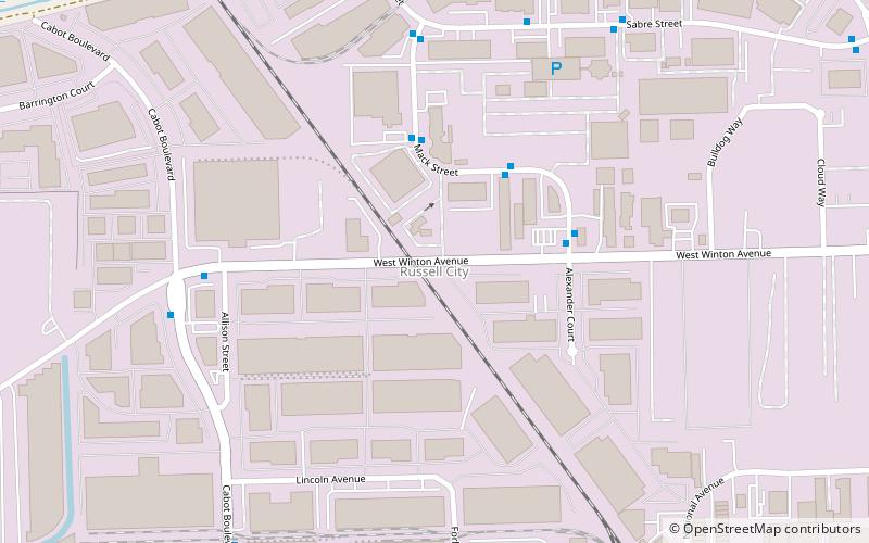
Russell City, Hayward
Facts and practical information
Russell City was an unincorporated community in Alameda County, California, United States, about 10 miles south of Oakland in present-day Hayward. The land is at an elevation of 16 feet. Per the City of Hayward's website and other sources, Russell City was named in 1853 after Joel Russell, a New England teacher who came to California during the Gold Rush. Some sources note the area was named after Frederick James Russell, who laid out the town in 1907. It existed from 1853 until 1964, when the last of the residents were forced out to make way for an industrial park, with such parks dominating the area to this day. During the time the residents fought removal under eminent domain statutes, many of the buildings were destroyed by acts of arson. ()
Hayward
- Bus
 Bus
Bus
- Calculate route20303 Mack Street 4 min walk
- Calculate route20234 Mack Street 4 min walk
- Calculate route20201 Mack Street 4 min walk
- Calculate routeMack Street & West Winton Avenue 4 min walk


Frequently Asked Questions (FAQ)
How to get to Russell City by public transport?
Bus
- 20303 Mack Street • Lines: 86 (4 min walk)
- 20234 Mack Street • Lines: 86 (4 min walk)