C. A. Belden House, San Francisco

Gallery (1)
Map
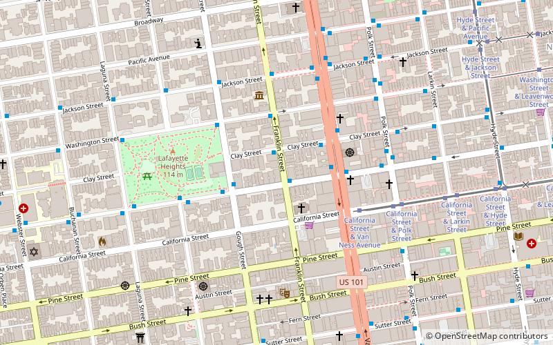
Map
Facts and practical information
The C. A. Belden House is a historic building in the Pacific Heights neighborhood of San Francisco, California, United States. It was designed by Walter J. Mathews in the Queen Anne style and completed in 1889. ()
Architectural style: Queen Anne style architectureCoordinates: 37°47'29"N, 122°25'28"W
Address
Northwest San Francisco (Pacific Heights)San Francisco
ContactAdd
Social media
Add
Getting there by public transportation
Public transportation stops near this location
- Metro
- Bus
- Trolleybus
- Tram
- Light rail
 Metro
Metro
- Calculate routeSacramento Street & Franklin Street 1 min walk
- Calculate routeGough Street & Sacramento Street 2 min walk
- Calculate routeClay Street & Van Ness Avenue 3 min walk
- Calculate routeVan Ness Avenue & Sacramento Street 3 min walk
- Calculate routePolk Street & Sacramento Street 5 min walk
- Calculate routeCalifornia Street & Van Ness Avenue 4 min walk
- Calculate routeCalifornia Street & Polk Street 6 min walk
- Calculate routeCalifornia Street & Larkin Street 8 min walk
- Calculate routeCalifornia Street & Hyde Street 10 min walk
- Calculate routeCivic Center 26 min walk
- Calculate routePowell Street 27 min walk
- Calculate routeCivic Center 26 min walk
- Calculate routePowell Street 27 min walk
- Calculate routeVan Ness 30 min walk
Maps Muni Metro
Muni MetroDay trips


Frequently Asked Questions (FAQ)
Which popular attractions are close to C. A. Belden House?
Nearby attractions include Second Church of Christ, San Francisco (2 min walk), Academy of Art University Automobile Museum, San Francisco (4 min walk), Haas-Lilienthal House, San Francisco (4 min walk), Lafayette Park, San Francisco (5 min walk).
How to get to C. A. Belden House by public transport?
The nearest stations to C. A. Belden House:
Trolleybus
Bus
Tram
Metro
Light rail
Trolleybus
- Sacramento Street & Franklin Street • Lines: 1 (1 min walk)
- Gough Street & Sacramento Street • Lines: 1 (2 min walk)
Bus
- Van Ness Avenue & Sacramento Street • Lines: 101, 101X, 24C, 30, 49, 4C, 54C, 70, 90 (3 min walk)
- Polk Street & Sacramento Street • Lines: 19 (5 min walk)
Tram
- California Street & Van Ness Avenue (4 min walk)
- California Street & Polk Street (6 min walk)
Metro
- Civic Center • Lines: Blue, Green, Red, Yellow (26 min walk)
- Powell Street • Lines: Blue, Green, Red, Yellow (27 min walk)
Light rail
- Civic Center • Lines: K, N, S, T (26 min walk)
- Powell Street • Lines: K, N, S, T (27 min walk)