Alameda Street, Los Angeles
Map
Facts and practical information
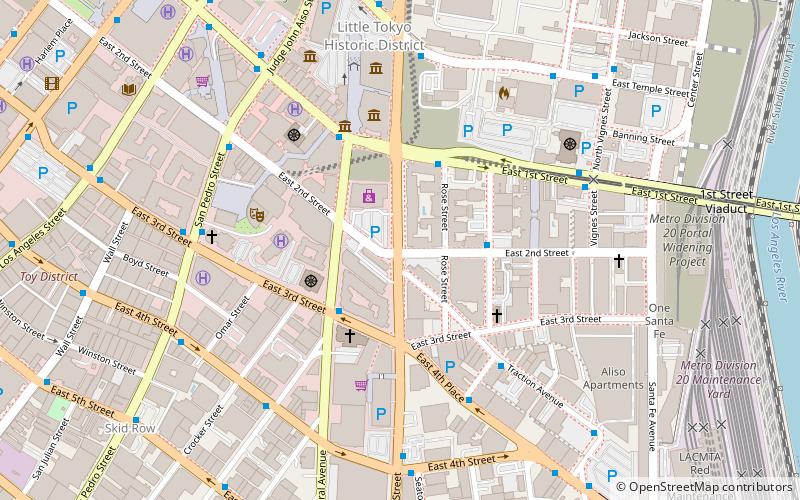
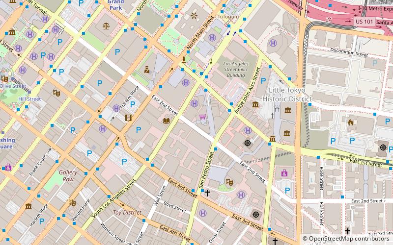
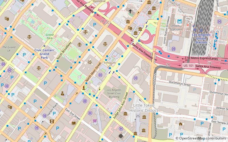
Alameda Street is a major north-south thoroughfare in Los Angeles County, California. It is approximately 21 miles in length, running from Harry Bridges Boulevard in Wilmington; and through Carson, Compton, Lynwood, Watts, Vernon and Arts District to Spring and College in Chinatown. For much of its length, Alameda runs through present and former industrial corridors, and is paralleled by Southern Pacific Railway tracks. ()
Coordinates: 34°2'50"N, 118°14'17"W
Address
Central Los Angeles (Historic Cultural)Los Angeles
ContactAdd
Social media
Add
Getting there by public transportation
Public transportation stops near this location
- Metro
- Bus
- Light rail
- Train
 Metro
Metro
- Calculate routeAliso Street & Los Angeles Street 14 min walk
- Calculate routeSpring Street & 1st Street 15 min walk
- Calculate routeArcadia Street & Los Angeles Street 15 min walk
- Calculate routePatsaouras Transit Plaza 15 min walk
- Calculate routeUnion Station 17 min walk
- Calculate routeCivic Center/Grand Park 18 min walk
- Calculate routePershing Square 20 min walk
- Calculate routeUnion Station 17 min walk
- Calculate routePico/Aliso 18 min walk
- Calculate routeMariachi Plaza 28 min walk
- Calculate routeChinatown 30 min walk
- Calculate routeLos Angeles Union Station 17 min walk
Maps Metro & Regional Rail
Metro & Regional RailDay trips


Frequently Asked Questions (FAQ)
Which popular attractions are close to Alameda Street?
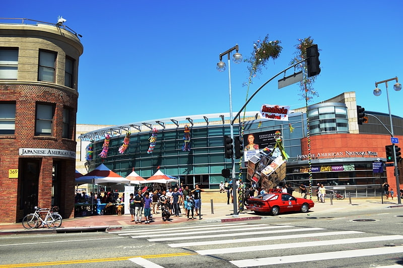
Nearby attractions include Zenshuji Soto Misson, Los Angeles (4 min walk), Little Tokyo, Los Angeles (4 min walk), Japanese American National Museum, Los Angeles (5 min walk), Koyasan Buddhist Temple, Los Angeles (5 min walk).
How to get to Alameda Street by public transport?
The nearest stations to Alameda Street:
Bus
Metro
Light rail
Train
Bus
- Aliso Street & Los Angeles Street • Lines: J (14 min walk)
- Spring Street & 1st Street • Lines: J (15 min walk)
Metro
- Union Station • Lines: B, D (17 min walk)
- Civic Center/Grand Park • Lines: B, D (18 min walk)
Light rail
- Union Station • Lines: L (17 min walk)
- Pico/Aliso • Lines: L (18 min walk)
Train
- Los Angeles Union Station (17 min walk)