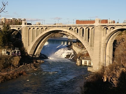
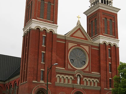
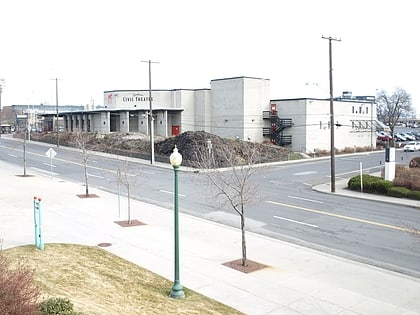
Riverside Avenue Historic District, Spokane
Map
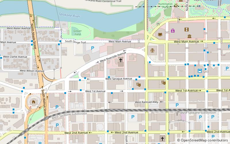
Map

Facts and practical information
The Riverside Avenue Historic District is a 16.5 acres historic district in Spokane, Washington which was listed on the National Register of Historic Places in 1976. The listing included 15 contributing buildings and two contributing objects. ()
Coordinates: 47°39'27"N, 117°25'44"W
Address
South Side (Riverside)Spokane
ContactAdd
Social media
Add
Day trips
Riverside Avenue Historic District – popular in the area (distance from the attraction)
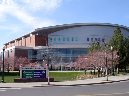
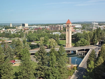
Nearby attractions include: Riverfront Park Carousel, River Park Square, Spokane Arena, Riverfront Park.
Frequently Asked Questions (FAQ)
Which popular attractions are close to Riverside Avenue Historic District?
Nearby attractions include Cathedral of Our Lady of Lourdes, Spokane (2 min walk), Fox Theater, Spokane (3 min walk), Spokane Public Library - Main, Spokane (4 min walk), Review Building, Spokane (5 min walk).
How to get to Riverside Avenue Historic District by public transport?
The nearest stations to Riverside Avenue Historic District:
Bus
Train
Bus
- Sprague @ Jefferson • Lines: 20 (1 min walk)
- 1st @ Jefferson • Lines: 20 (2 min walk)
Train
- Spokane (17 min walk)


