Eastland Gardens, Washington D.C.
Map
Facts and practical information
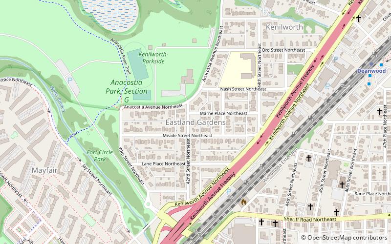
Eastland Gardens is a small residential neighborhood, located in northeast Washington, D.C. It is bounded by Eastern Avenue NE to the north, the Watts Branch Tributary to the south, CSX Transportation tracks to the east and the Anacostia River to the west. ()
Coordinates: 38°54'22"N, 76°56'35"W
Address
Northeast Washington (Deanwood)Washington D.C.
ContactAdd
Social media
Add
Getting there by public transportation
Public transportation stops near this location
- Metro
- Bus
 Metro
Metro
- Calculate routeDeanwood Metro 12 min walk
- Calculate routeMinnesota Avenue Metro 16 min walk
- Calculate routeBenning Road 28 min walk
Day trips
Eastland Gardens – popular in the area (distance from the attraction)
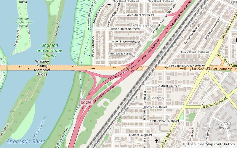
Nearby attractions include: United States National Arboretum, Whitney Young Memorial Bridge, First Baptist Church of Deanwood, District of Columbia Route 295.


Frequently Asked Questions (FAQ)
Which popular attractions are close to Eastland Gardens?
Nearby attractions include First Baptist Church of Deanwood, Washington D.C. (9 min walk), Kenilworth Park and Aquatic Gardens, Washington D.C. (10 min walk), Mayfair Mansions Apartments, Washington D.C. (10 min walk), Deanwood, Washington D.C. (15 min walk).
How to get to Eastland Gardens by public transport?
The nearest stations to Eastland Gardens:
Bus
Metro
Bus
- Deanwood Metro • Lines: R12, U7, W4 (12 min walk)
- Minnesota Avenue Metro • Lines: U4, U5, U6, U7, V2, V4, V7, V8, X1, X2, X3, X9 (16 min walk)
Metro
- Benning Road • Lines: Bl, Sv (28 min walk)