Kingman Lake, Washington D.C.
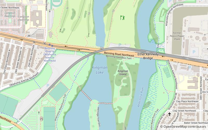
Map
Gallery
Facts and practical information
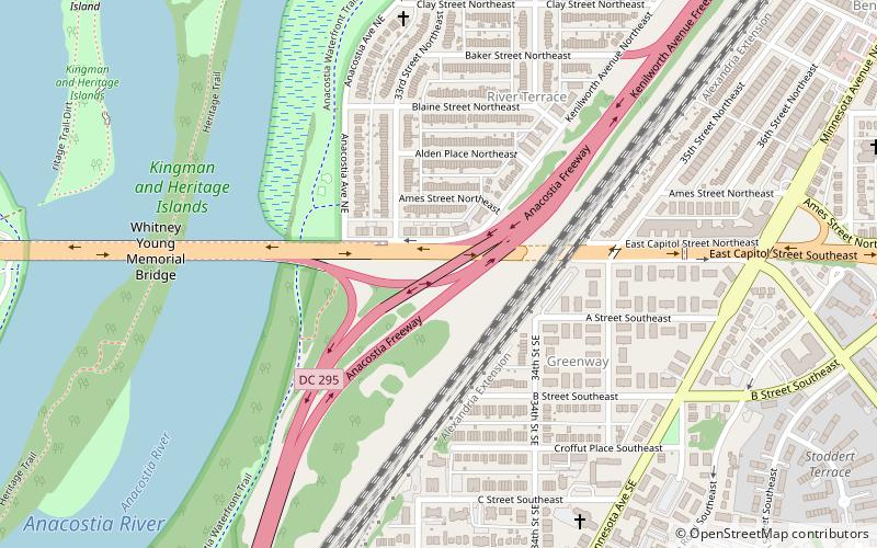
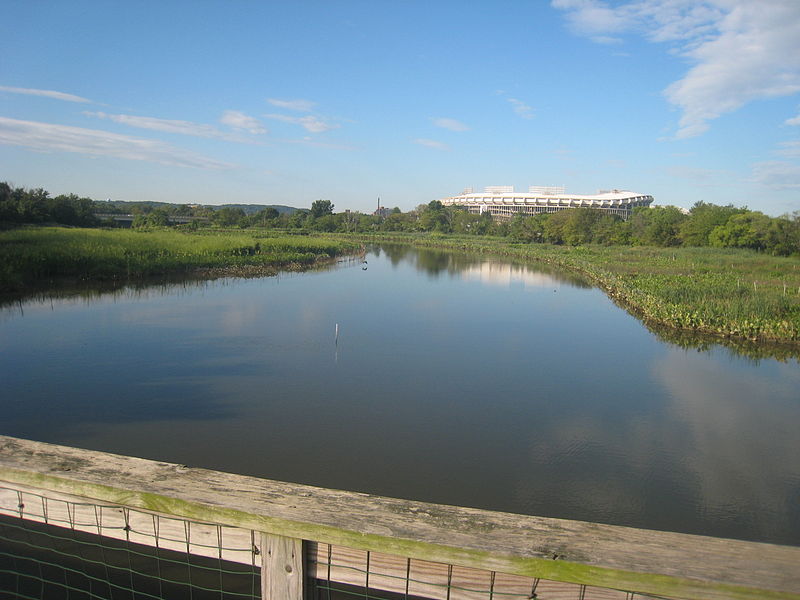
Kingman Lake is a 110-acre artificial lake located in the Anacostia River in Washington, D.C., in the United States. The lake was created in 1920 when the United States Army Corps of Engineers used material dredged from the Anacostia River to create Kingman Island. The Corps of Engineers largely blocked the flow of the Anacostia River to the west of Kingman Island, creating the lake. Kingman Lake is currently managed by the National Park Service. ()
Built: 1920 (106 years ago)Average depth: 6 ftElevation: 3 ft a.s.l.Coordinates: 38°53'47"N, 76°57'56"W
Address
Northeast WashingtonWashington D.C.
ContactAdd
Social media
Add
Day trips
Kingman Lake – popular in the area (distance from the attraction)
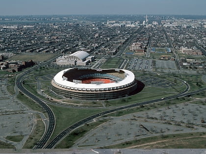
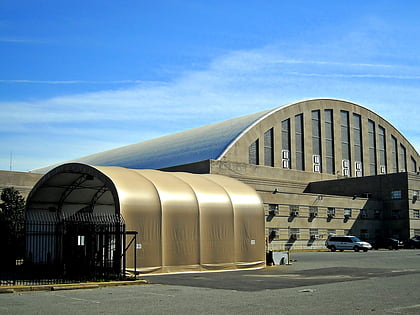
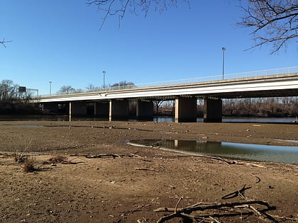
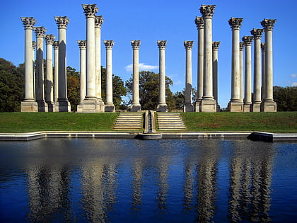
Nearby attractions include: RFK Stadium, D.C. Armory, United States National Arboretum, Whitney Young Memorial Bridge.
Frequently Asked Questions (FAQ)
Which popular attractions are close to Kingman Lake?
Nearby attractions include Ethel Kennedy Bridge, Mount Rainier (3 min walk), Benning Road, Washington D.C. (8 min walk), Whitney Young Memorial Bridge, Mount Rainier (12 min walk), River Terrace, Washington D.C. (14 min walk).
How to get to Kingman Lake by public transport?
The nearest stations to Kingman Lake:
Tram
Metro
Bus
Tram
- Benning Road & Oklahoma Avenue Northeast • Lines: H Street/Benning Road Streetcar (7 min walk)
Metro
- Stadium–Armory • Lines: Bl, Or, Sv (24 min walk)
- Potomac Avenue • Lines: Bl, Or, Sv (38 min walk)
Bus
- Minnesota Avenue Metro • Lines: U4, U5, U6, U7, V2, V4, V7, V8, X1, X2, X3, X9 (26 min walk)

