Benning / Dorothy I. Height Neighborhood Library, Washington D.C.

Gallery (2)
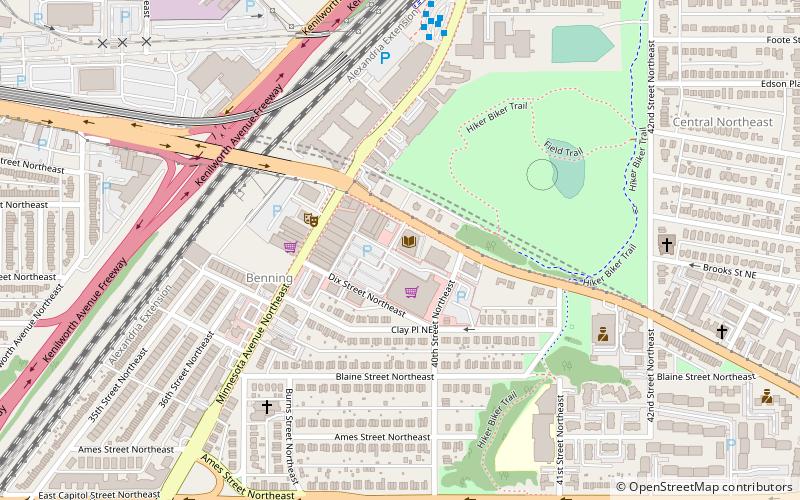
Map

Map
Gallery
Facts and practical information
The Benning / Dorothy I. Height Neighborhood Library is a branch of the District of Columbia Public Library system, located in Benning, a neighborhood in Northeast Washington, D.C. ()
Coordinates: 38°53'38"N, 76°56'53"W
Address
3935 Benning Road NortheastNortheast Washington (Benning)Washington D.C.
Contact
+1 202-281-2583
Social media
Add
Getting there by public transportation
Public transportation stops near this location
- Metro
- Bus
- Tram
 Metro
Metro
- Calculate routeMinnesota Avenue Metro 8 min walk
- Calculate routeDeanwood Metro 30 min walk
- Calculate routeBenning Road 15 min walk
- Calculate routeBenning Road & Oklahoma Avenue Northeast 31 min walk
Day trips
Benning / Dorothy I. Height Neighborhood Library – popular in the area (distance from the attraction)
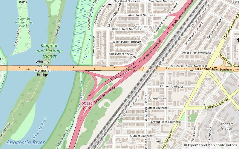
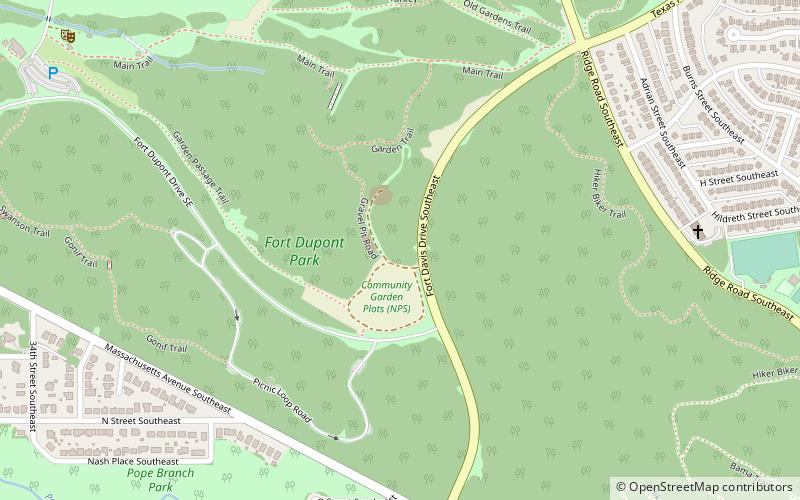
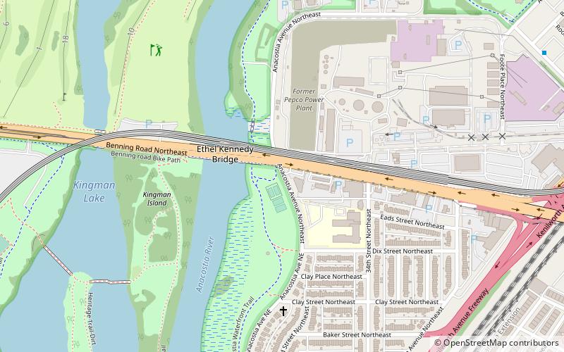
Nearby attractions include: Whitney Young Memorial Bridge, First Baptist Church of Deanwood, District of Columbia Route 295, Fort Dupont Park.


Frequently Asked Questions (FAQ)
Which popular attractions are close to Benning / Dorothy I. Height Neighborhood Library?
Nearby attractions include East River Heights, Washington D.C. (3 min walk), Benning, Washington D.C. (4 min walk), Central Northeast, Washington D.C. (11 min walk), River Terrace, Washington D.C. (14 min walk).
How to get to Benning / Dorothy I. Height Neighborhood Library by public transport?
The nearest stations to Benning / Dorothy I. Height Neighborhood Library:
Bus
Metro
Tram
Bus
- Minnesota Avenue Metro • Lines: U4, U5, U6, U7, V2, V4, V7, V8, X1, X2, X3, X9 (8 min walk)
- Deanwood Metro • Lines: R12, U7, W4 (30 min walk)
Metro
- Benning Road • Lines: Bl, Sv (15 min walk)
Tram
- Benning Road & Oklahoma Avenue Northeast • Lines: H Street/Benning Road Streetcar (31 min walk)