Whitney Young Memorial Bridge, Mount Rainier
Map
Gallery
Facts and practical information
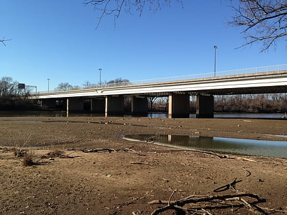
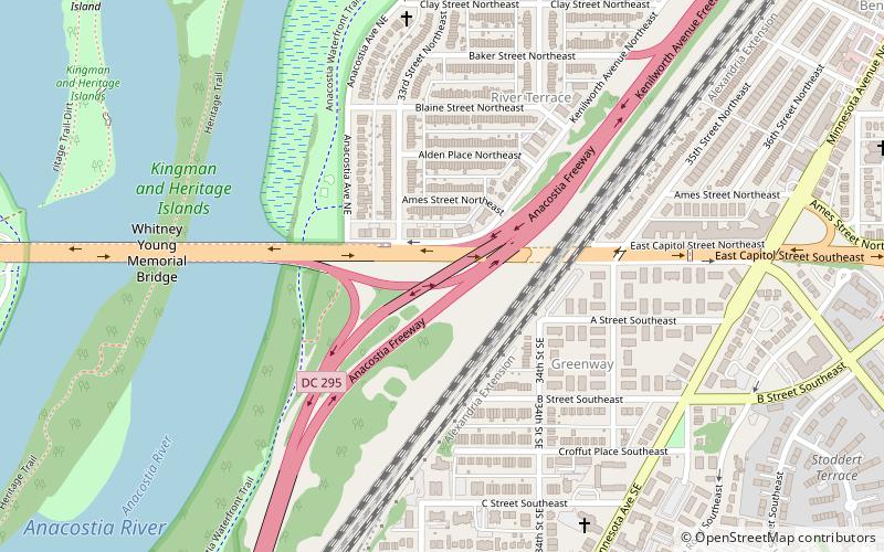
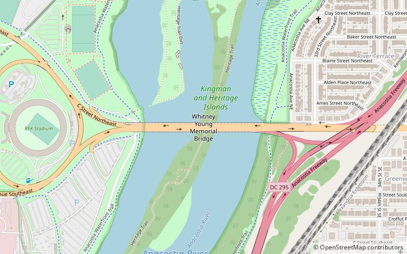
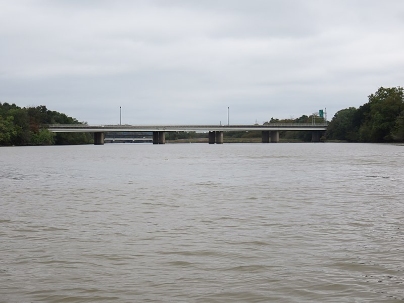
The Whitney Young Memorial Bridge is a bridge that carries East Capitol Street across the Anacostia River in Washington, D.C. in the United States. Finished in 1955, it was originally called the East Capitol Street Bridge. It was renamed for civil rights activist Whitney Young in early 1974. The bridge is 1,800 feet long, its six lanes are 82 feet wide, and it has 15 spans resting on 14 piers. ()
Coordinates: 38°53'23"N, 76°57'54"W
Address
Southeast WashingtonMount Rainier
ContactAdd
Social media
Add
Day trips
Whitney Young Memorial Bridge – popular in the area (distance from the attraction)
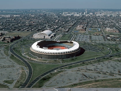
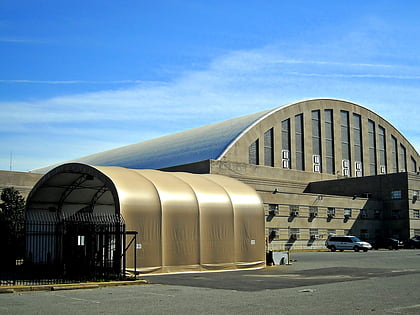
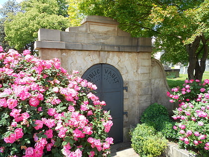
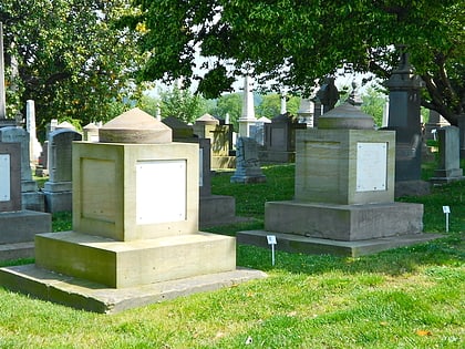
Nearby attractions include: RFK Stadium, D.C. Armory, Public Vault at the Congressional Cemetery, District of Columbia Route 295.
Frequently Asked Questions (FAQ)
Which popular attractions are close to Whitney Young Memorial Bridge?
Nearby attractions include District of Columbia Route 295, Washington D.C. (8 min walk), River Terrace, Washington D.C. (11 min walk), Kingman Lake, Washington D.C. (12 min walk), Ethel Kennedy Bridge, Mount Rainier (14 min walk).
