Neptune Road, Boston

Gallery (1)
Map
Map
Facts and practical information
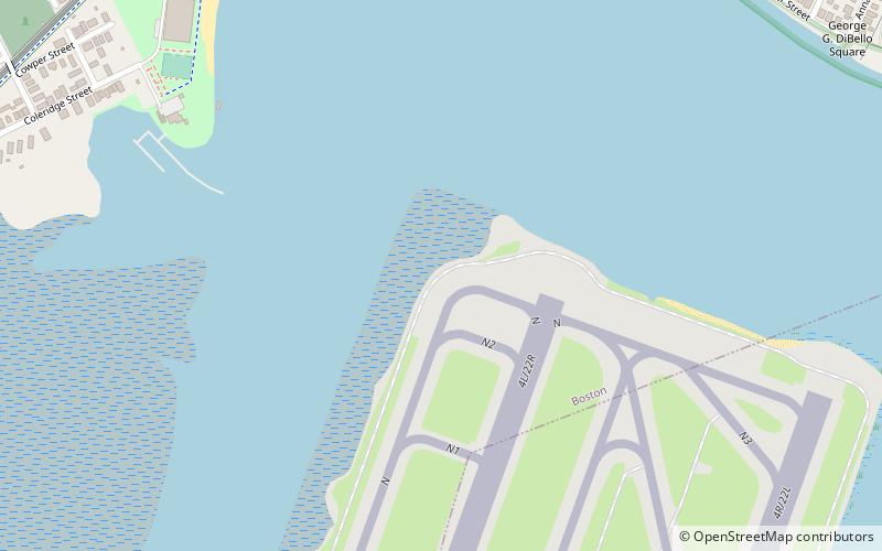
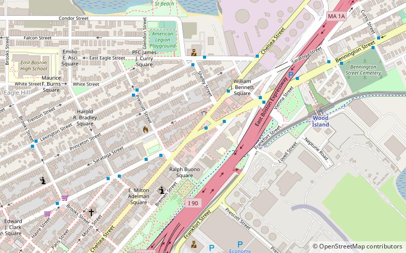
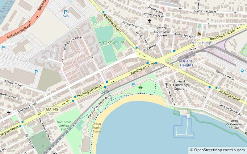
Neptune Road is located in the East Boston neighborhood of Boston, Massachusetts. The road is fragmented, bisected by the Massachusetts Bay Transportation Authority's Blue Line which surfaces from the subway southwest of the road. Much of the portion southeast of the train tracks is encompassed within Logan International Airport. ()
Coordinates: 42°22'43"N, 71°0'24"W
Address
East Boston (Jeffries Point)Boston
ContactAdd
Social media
Add
Getting there by public transportation
Public transportation stops near this location
- Metro
 Metro
Metro
- Calculate routeOrient Heights 15 min walk
- Calculate routeWood Island 22 min walk
- Calculate routeSuffolk Downs 25 min walk
Maps MBTA Subway
MBTA SubwayDay trips


Frequently Asked Questions (FAQ)
Which popular attractions are close to Neptune Road?
Nearby attractions include Constitution Beach, Boston (11 min walk), Temple Ohabei Shalom Cemetery, Boston (13 min walk), Bennington Street, Boston (14 min walk), Baker Congregational Church, Boston (17 min walk).
How to get to Neptune Road by public transport?
The nearest stations to Neptune Road:
Metro
Metro
- Orient Heights • Lines: Blue (15 min walk)
- Wood Island • Lines: Blue (22 min walk)