Mary Ellen Welch Greenway, Boston
Map
Gallery
Facts and practical information
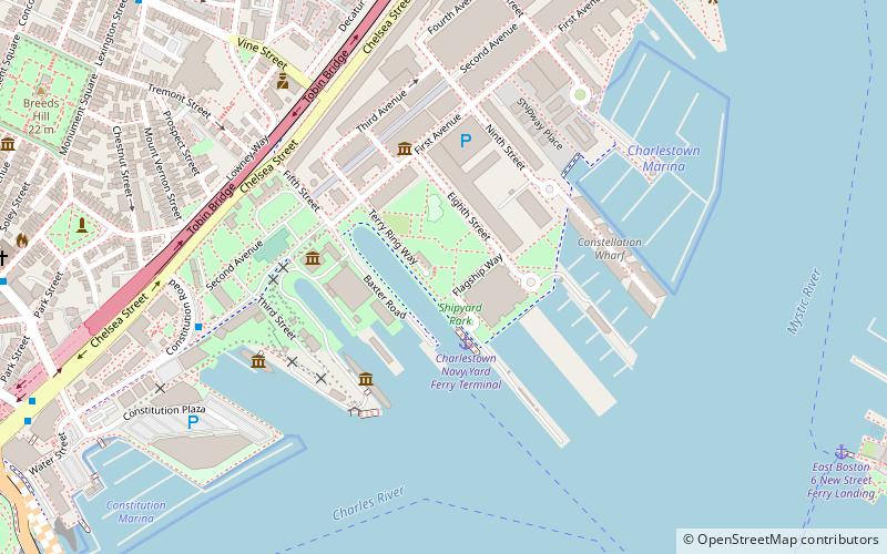
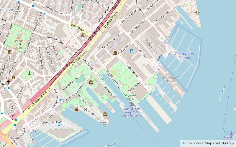
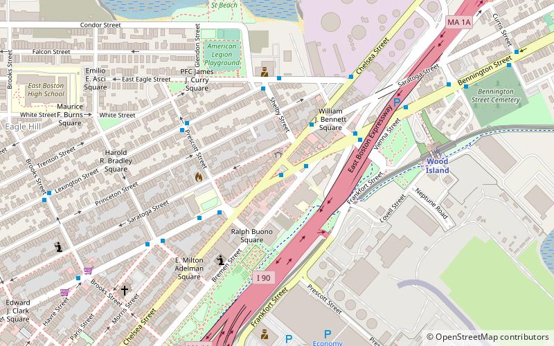
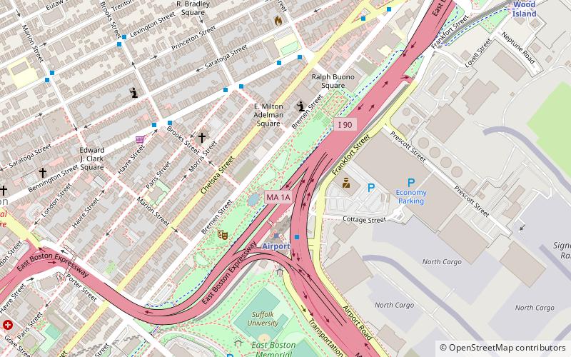
The Mary Ellen Welch Greenway is a rail trail and park in East Boston that is located along the path of a former Conrail line. The greenway connects several significant open space areas in East Boston, including Piers Park, Memorial Stadium, Bremen Street Park, Wood Island Bay Marsh and Belle Isle Marsh. When completed, the line is expected to be 3.3 miles in length. ()
Elevation: 13 ft a.s.l.Coordinates: 42°22'32"N, 71°1'48"W
Address
East Boston (Jeffries Point)Boston
ContactAdd
Social media
Add
Day trips
Mary Ellen Welch Greenway – popular in the area (distance from the attraction)
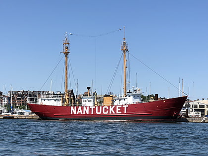
Nearby attractions include: Boston Navy Yard, Piers Park, United States lightship Nantucket, Constitution Beach.
Frequently Asked Questions (FAQ)
Which popular attractions are close to Mary Ellen Welch Greenway?
Nearby attractions include Bremen Street Park, Boston (2 min walk), Day Square, Boston (7 min walk), East Boston, Boston (12 min walk), Donald McKay House, Boston (13 min walk).
How to get to Mary Ellen Welch Greenway by public transport?
The nearest stations to Mary Ellen Welch Greenway:
Metro
Metro
- Airport • Lines: Blue (3 min walk)
- Wood Island • Lines: Blue (12 min walk)

 MBTA Subway

