Neponset, Boston

Map
Facts and practical information
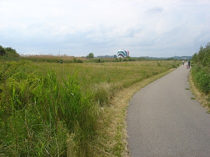
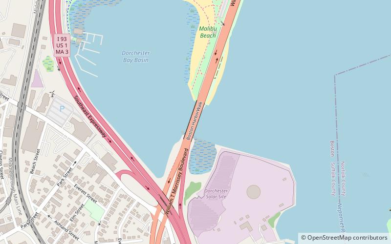
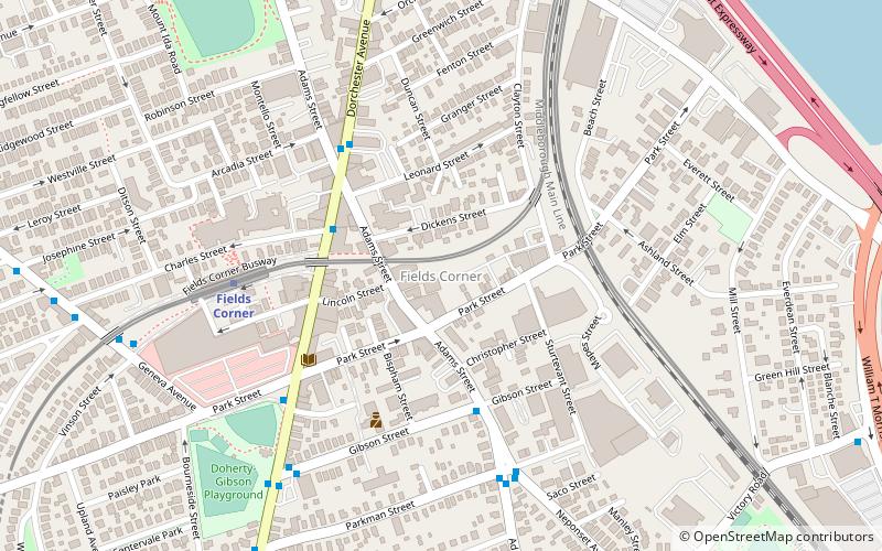
Neponset is a district in the southeast corner of Dorchester, Boston, Massachusetts, United States. The Neponset Indians were the original inhabitants of this district and in 1646 John Eliot preached unsuccessfully to the Native American community in Neponset led by Sachem Cutshamekin before the tribe moved to Ponkapoag. ()
Coordinates: 42°17'10"N, 71°2'43"W
Address
Dorchester (Neponset - Port Norfolk)Boston
ContactAdd
Social media
Add
Day trips
Neponset – popular in the area (distance from the attraction)
Nearby attractions include: Squantum Point Park, Parish of All Saints Ashmont, Pierce House, Dorchester Park.
Frequently Asked Questions (FAQ)
How to get to Neponset by public transport?
The nearest stations to Neponset:
Light rail
Metro
Bus
Light rail
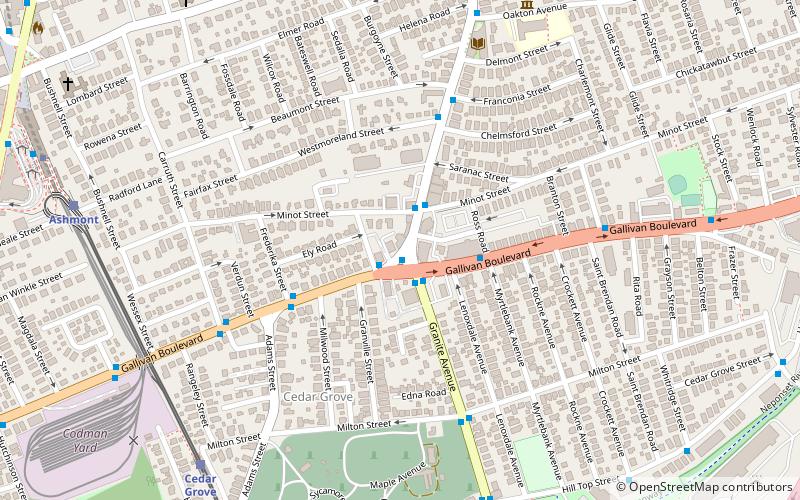
- Cedar Grove • Lines: M (23 min walk)
- Ashmont/Peabody Square • Lines: M (24 min walk)
Metro
- Ashmont/Peabody Square • Lines: Red (25 min walk)
- Shawmut • Lines: Red (30 min walk)
Bus
- 240 • Lines: 240, 240 inbound, 240 outbound, 240-1 inbound, 240-1 outbound, 240-9 inbound, 240-9 outbound (25 min walk)
- 23 • Lines: 23 (25 min walk)
 MBTA Subway


