Flavel Park, Portland
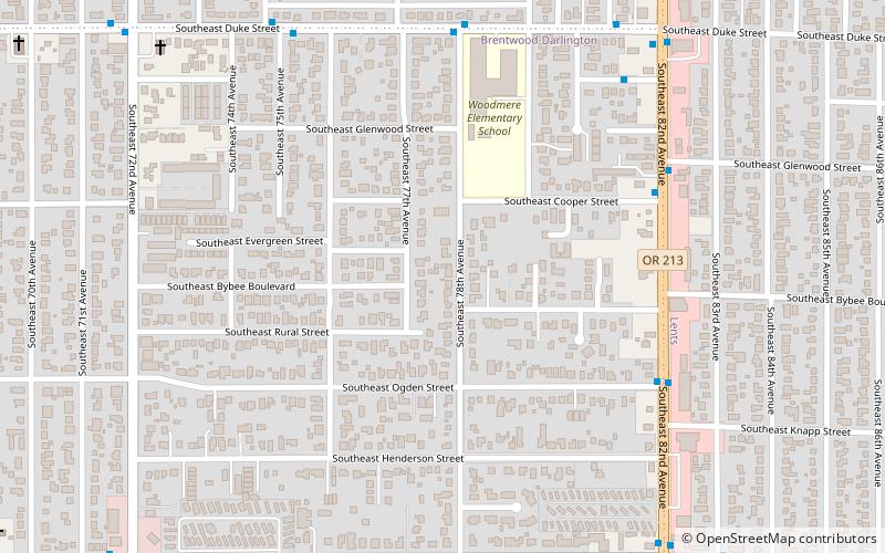
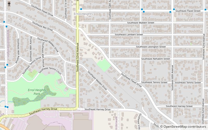
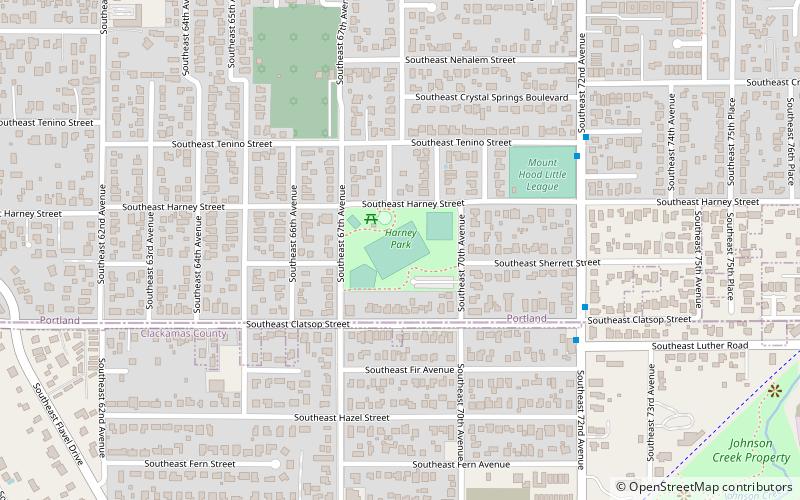
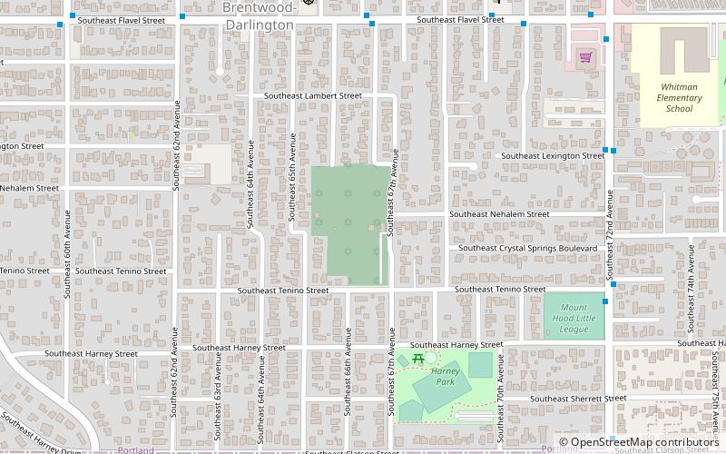
Map

Map

Facts and practical information
Flavel Park is a 4.20-acre public park in Portland, Oregon's Brentwood-Darlington neighborhood, in the United States. The park was acquired in 1953. ()
Elevation: 236 ft a.s.l.Coordinates: 45°28'21"N, 122°35'0"W
Address
Southeast Uplift (Brentwood-Darlington)Portland
ContactAdd
Social media
Add
Day trips
Flavel Park – popular in the area (distance from the attraction)
Nearby attractions include: Mt. Scott Park, Hazeltine Park, Harney Park, Congregation Shaarie Torah Cemetery.
Frequently Asked Questions (FAQ)
Which popular attractions are close to Flavel Park?
Nearby attractions include Mt. Scott-Arleta, Portland (19 min walk), Mt. Scott Park, Portland (19 min walk), Brentwood-Darlington, Portland (20 min walk), Congregation Shaarie Torah Cemetery, Portland (20 min walk).
How to get to Flavel Park by public transport?
The nearest stations to Flavel Park:
Bus
Light rail
Bus
- Southeast 82nd & Cooper • Lines: 19, 72 (6 min walk)
- Southeast Duke & 78th • Lines: 19 (6 min walk)
Light rail
- Southeast Flavel Street • Lines: Green (23 min walk)
- Lents Town Center/Southeast Foster Road • Lines: Green (25 min walk)


