Washington Virginia Vale, Denver

Map
Facts and practical information
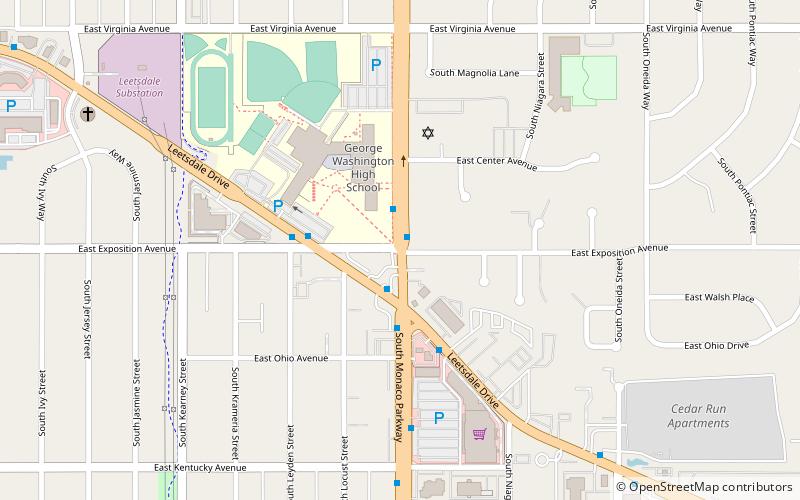
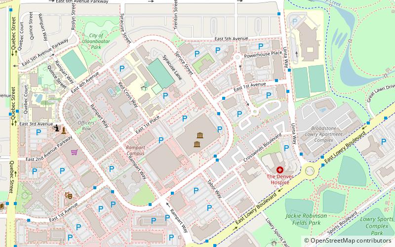
Washington Virginia Vale is a neighborhood in southeastern Denver, Colorado. The neighborhood is roughly bound by Alameda Avenue, South Cherry Creek Drive, and South Quebec Street. The western border of the neighborhood merges into the city of Glendale, Colorado, an enclave of Denver. ()
Coordinates: 39°42'14"N, 104°54'46"W
Address
East Denver (Washington Virginia Vale)Denver
ContactAdd
Social media
Add
Day trips
Washington Virginia Vale – popular in the area (distance from the attraction)
Nearby attractions include: Wings Over the Rockies Air & Space Museum, Fairmount Cemetery, Fairmount Mausoleum, Temple Emanuel.
Frequently Asked Questions (FAQ)
Which popular attractions are close to Washington Virginia Vale?
Nearby attractions include Mizel Museum, Denver (11 min walk), Fairmount Cemetery, Denver (21 min walk).
How to get to Washington Virginia Vale by public transport?
The nearest stations to Washington Virginia Vale:
Bus
Bus
- East Alameda Avenue & South Monaco Parkway • Lines: 3 (14 min walk)


