Port Richmond, Philadelphia

Gallery (6)
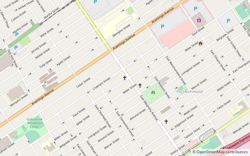
Map

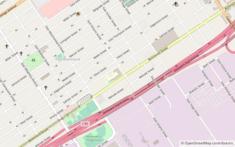
Map

Gallery
Facts and practical information
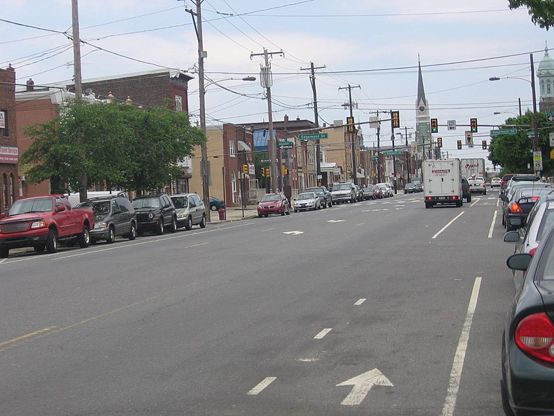
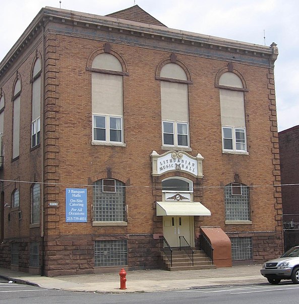
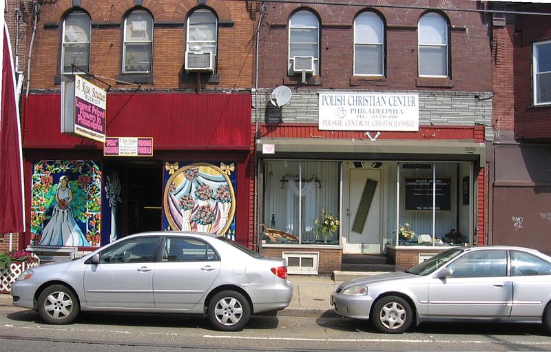
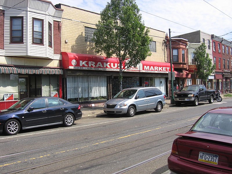
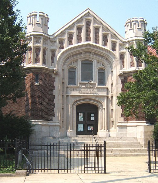
Port Richmond is a neighborhood in the River Wards section of Philadelphia, Pennsylvania. It is notable for its extremely large Polish immigrant and Polish American community. The neighborhood is also home to a large Irish American community and sizable German and Italian communities as represented in the various churches and organizations. In more recent years, a sizable Albanian community has moved in. The Richmond Zip Code is 19134 and 19125. ()
Coordinates: 39°58'34"N, 75°5'60"W
Address
River Wards (Port Richmond)Philadelphia
ContactAdd
Social media
Add
Getting there by public transportation
Public transportation stops near this location
- Light rail
 Light rail
- Calculate route36th Street 39 min walk
Maps SEPTA Regional Rail
SEPTA Regional RailDay trips


Frequently Asked Questions (FAQ)
Which popular attractions are close to Port Richmond?
Nearby attractions include Bridesburg-Kensington-Richmond, Philadelphia (16 min walk), St. Adalbert in Philadelphia, Philadelphia (16 min walk), Alternative Middle Years at James Martin School, Philadelphia (18 min walk), Richmond School, Philadelphia (20 min walk).
How to get to Port Richmond by public transport?
The nearest stations to Port Richmond:
Light rail
Light rail
- 36th Street • Lines: River Line (39 min walk)