Thomas Powers School, Philadelphia
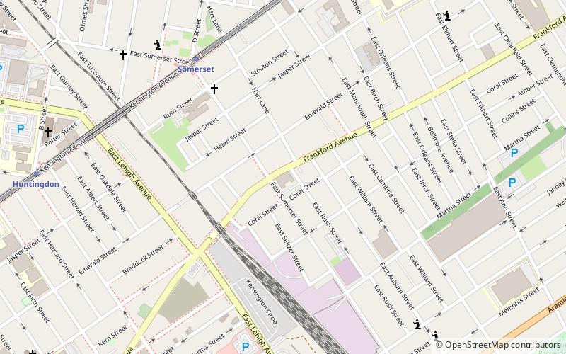
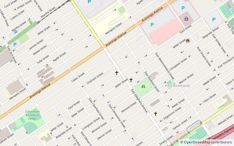
Map

Map

Facts and practical information
Thomas Powers School is a historic school building located in the Port Richmond neighborhood of Philadelphia, Pennsylvania. It was built in 1899–1900, and is a three-story, square, granite building with basement in the Romanesque style. It sits on a stone foundation and features a projecting round arched tower, stepped Flemish gable, and hipped roof with large projecting chimneys. ()
Coordinates: 39°59'20"N, 75°7'11"W
Address
River Wards (Richmond)Philadelphia
ContactAdd
Social media
Add
Day trips
Thomas Powers School – popular in the area (distance from the attraction)
Nearby attractions include: St. Adalbert in Philadelphia, St. Laurentius Parish, Palmer Cemetery, 2424 Studios.
Frequently Asked Questions (FAQ)
Which popular attractions are close to Thomas Powers School?
Nearby attractions include Frances E. Willard School, Philadelphia (10 min walk), Memphis Street Academy, Philadelphia (11 min walk), Conwell Middle Magnet School, Philadelphia (12 min walk), Beatty's Mills Factory Building, Philadelphia (14 min walk).
How to get to Thomas Powers School by public transport?
The nearest stations to Thomas Powers School:
Metro
Metro
- Somerset • Lines: Mfl (6 min walk)
- Huntingdon • Lines: Mfl (11 min walk)

 SEPTA Regional Rail


