Richmond School, Philadelphia
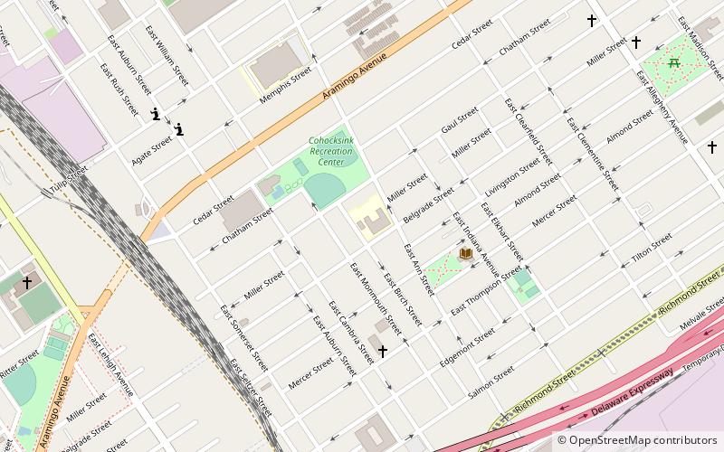
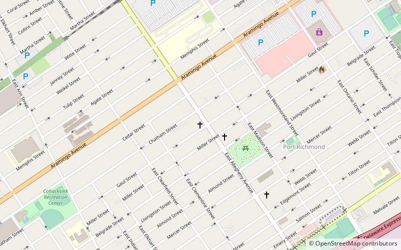
Map

Map

Facts and practical information
Richmond Elementary School is a historic elementary school located in the Port Richmond neighborhood of Philadelphia, Pennsylvania. It is part of the School District of Philadelphia. The building was designed by Irwin T. Catharine and built in 1928–1929. It is a three-story, nine-bay, brick building on a raised basement in the Late Gothic Revival style. It features a projecting stone entryway with Tudor arch, stone beltcourse and cornice, and a crenellated parapet. ()
Coordinates: 39°59'0"N, 75°6'39"W
Address
River Wards (Richmond)Philadelphia
ContactAdd
Social media
Add
Day trips
Richmond School – popular in the area (distance from the attraction)
Nearby attractions include: St. Adalbert in Philadelphia, St. Laurentius Parish, Palmer Cemetery, Penn Treaty Park.
Frequently Asked Questions (FAQ)
Which popular attractions are close to Richmond School?
Nearby attractions include Memphis Street Academy, Philadelphia (6 min walk), Our Lady Help of Christians, Philadelphia (10 min walk), St. Adalbert in Philadelphia, Philadelphia (12 min walk), Thomas Powers School, Philadelphia (16 min walk).
How to get to Richmond School by public transport?
The nearest stations to Richmond School:
Metro
Metro
- Somerset • Lines: Mfl (22 min walk)
- Allegheny • Lines: Mfl (24 min walk)

 SEPTA Regional Rail


