Andover Hills, Lexington
Map
Facts and practical information
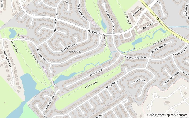
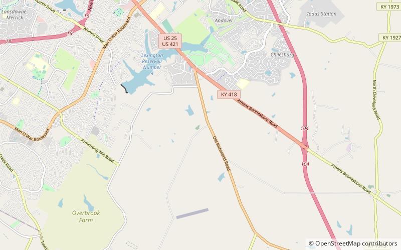
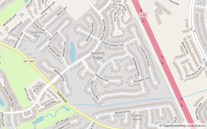
Andover Hills is a subdivision in southeastern Lexington, Kentucky, United States. Its boundaries are Todds Road to the east, Hays Boulevard to the south, Jacobson Park to the west, and Mapleleaf Park to the north. Schools in the district are Athens Chilesburg Elementary School, Edythe J. Hayes Middle School, and Henry Clay High School. ()
Area: 0.47 mi²Coordinates: 37°59'47"N, 84°24'53"W
Address
Boone Creek (Andover Hills)Lexington
ContactAdd
Social media
Add
Day trips


Frequently Asked Questions (FAQ)
Which popular attractions are close to Andover Hills?
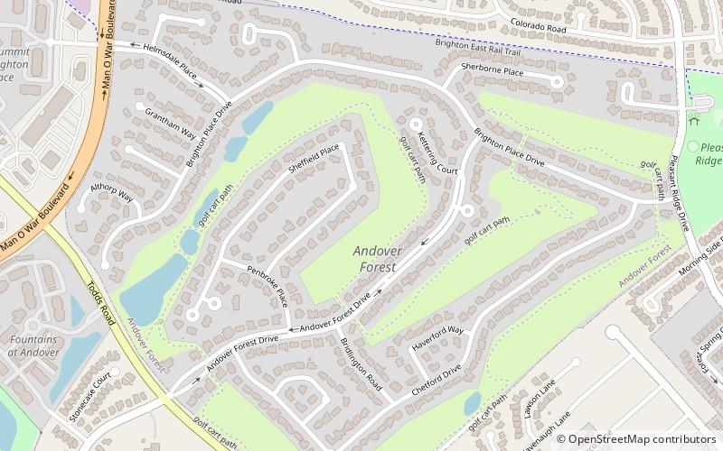
Nearby attractions include Autumn Ridge, Lexington (16 min walk), Andover Forest, Lexington (23 min walk).