Omaha Road Bridge Number 15, Saint Paul
Map

Map

Facts and practical information
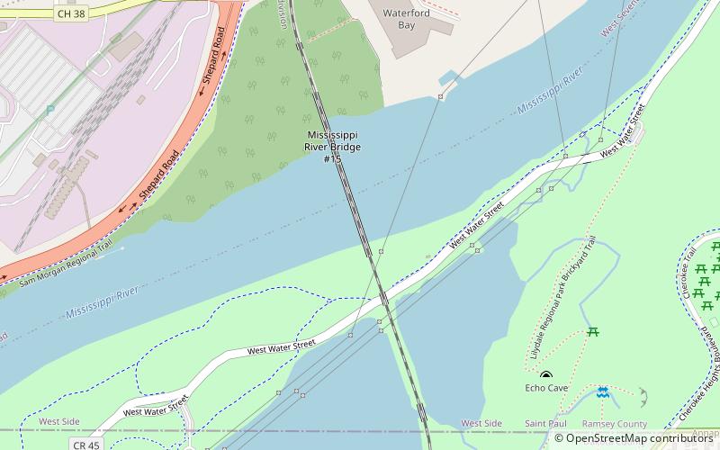
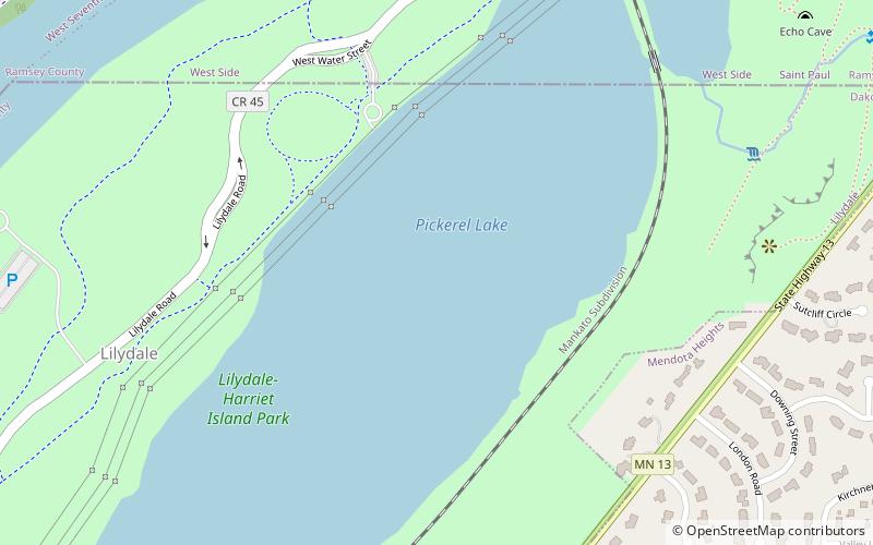
Omaha Road Bridge Number 15 is a swing bridge that spans the Mississippi River in St. Paul, Minnesota, United States. It was built in 1915 by the Chicago, St. Paul, Minneapolis and Omaha Railway, though it, and the line from St. Paul to Mendota, was jointly owned with the Chicago, Milwaukee and St. Paul Railway. The causeway curves around Pickerel Lake in Lilydale, Minnesota, before crossing into St. Paul. ()
Opened: 1916 (110 years ago)Length: 1055 ftCoordinates: 44°55'24"N, 93°7'2"W
Address
West Side (Baker - Annapolis)Saint Paul
ContactAdd
Social media
Add
Day trips
Omaha Road Bridge Number 15 – popular in the area (distance from the attraction)
Nearby attractions include: Harriet Island Regional Park, High Bridge, Minnesota Centennial Showboat, Saint Paul Municipal Grain Terminal.
Frequently Asked Questions (FAQ)
Which popular attractions are close to Omaha Road Bridge Number 15?
Nearby attractions include Mendota Road Bridge, Saint Paul (8 min walk), Pickerel Lake, Saint Paul (12 min walk), Schmidt Artist Lofts, Saint Paul (13 min walk), Artista Bottega, Saint Paul (15 min walk).
How to get to Omaha Road Bridge Number 15 by public transport?
The nearest stations to Omaha Road Bridge Number 15:
Bus
Bus
- Montreal Avenue & Montreal Circle • Lines: 83 (34 min walk)


