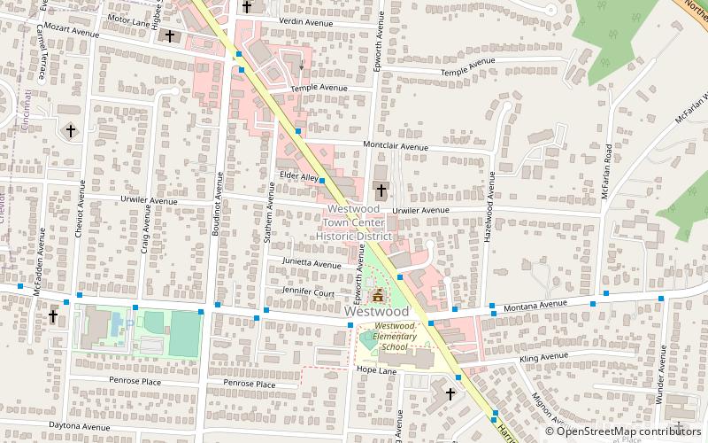
Westwood Town Center Historic District, Cincinnati

Gallery (1)
Map
Map
Facts and practical information
Westwood Town Center Historic District is a registered historic district in Cincinnati, Ohio, listed in the National Register of Historic Places on December 2, 1974. It contains 5 contributing buildings. ()
Coordinates: 39°9'1"N, 84°35'60"W
Address
3017 Harrison AvenueWestwoodCincinnati
Contact
+1 513-662-9109
Social media
Add
Getting there by public transportation
Public transportation stops near this location
- Bus
 Bus
Bus
- Calculate routeHarrison Ave & Epworth Ave 1 min walk
- Calculate routeMontana Ave & Epworth Ave 4 min walk
Day trips


Frequently Asked Questions (FAQ)
How to get to Westwood Town Center Historic District by public transport?
The nearest stations to Westwood Town Center Historic District:
Bus
Bus
- Harrison Ave & Epworth Ave • Lines: 21 (1 min walk)
- Montana Ave & Epworth Ave • Lines: 51 (4 min walk)