Gardenside, Lexington
Map
Facts and practical information
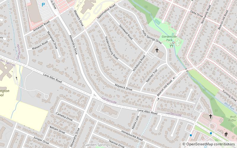
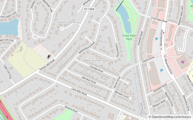
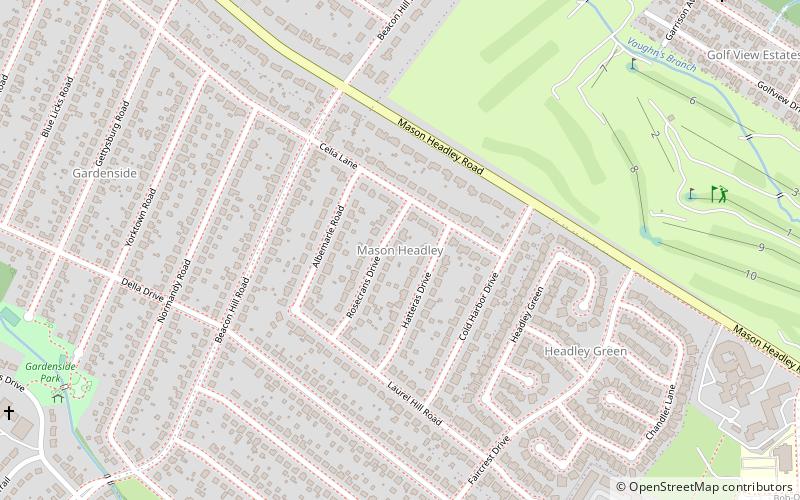
Gardenside is a neighborhood in southwestern Lexington, Kentucky, United States. Its boundaries are a combination of Darien Drive, Traveler Road, Appomattox Drive, and Alexandria Drive to the west, Wolf Run Creek to the north, Beacon Hill Drive to the east, and Lane Allen Road to the south. ()
Coordinates: 38°1'59"N, 84°32'49"W
Address
GardensideLexington
ContactAdd
Social media
Add
Getting there by public transportation
Public transportation stops near this location
- Bus
 Bus
Bus
- Calculate route226 - Southland @ 450 Inbound 36 min walk
Day trips


Frequently Asked Questions (FAQ)
Which popular attractions are close to Gardenside?
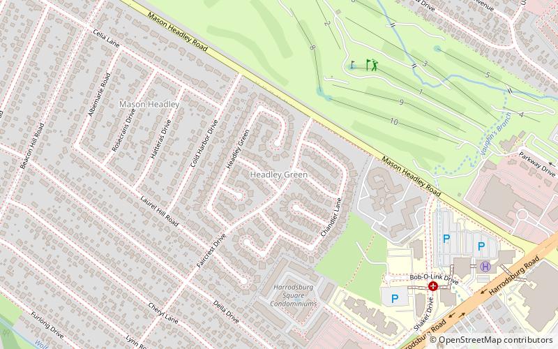
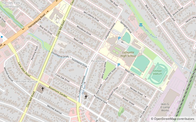
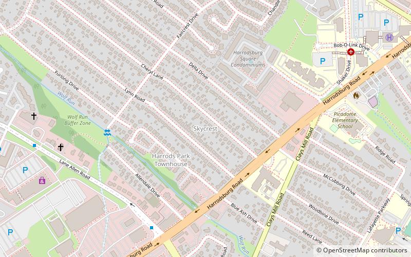
Nearby attractions include Garden Springs, Lexington (13 min walk), Mason Headley, Lexington (18 min walk), Cross Keys, Lexington (18 min walk), Skycrest, Lexington (20 min walk).
How to get to Gardenside by public transport?
The nearest stations to Gardenside:
Bus
Bus
- 226 - Southland @ 450 Inbound • Lines: 16 Southland Dr (36 min walk)