East Fourth Street Historic District, Cincinnati
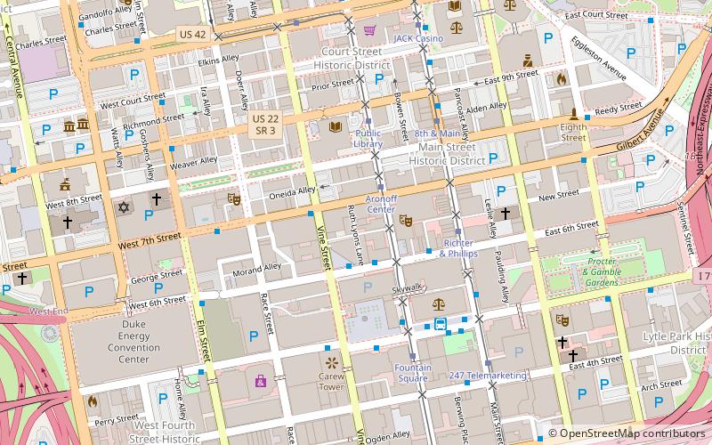
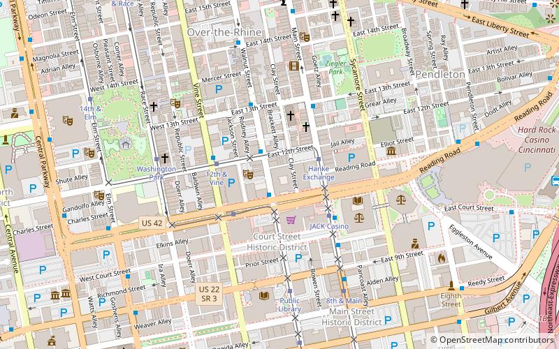
Map
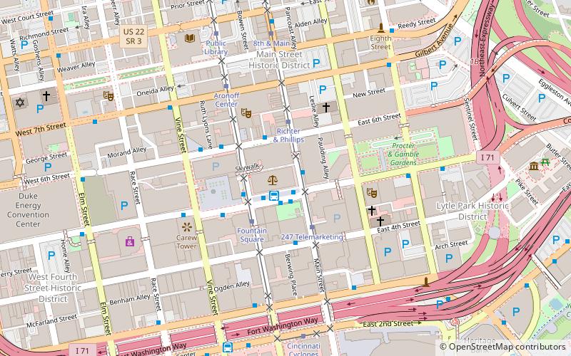
Map

Facts and practical information
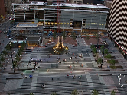
East Fourth Street Historic District is a registered historic district in Cincinnati, Ohio, listed in the National Register of Historic Places on February 22, 1988. It contains a row of 3 side-by-side contributing buildings dating circa 1860. ()
Coordinates: 39°6'7"N, 84°30'37"W
Address
Central Business DistrictCincinnati
ContactAdd
Social media
Add
Day trips
East Fourth Street Historic District – popular in the area (distance from the attraction)
Nearby attractions include: Great American Ball Park, Paul Brown Stadium, Heritage Bank Center, Fountain Square.
Frequently Asked Questions (FAQ)
Which popular attractions are close to East Fourth Street Historic District?
Nearby attractions include Fifth Third Center, Cincinnati (3 min walk), Federal Reserve Bank of Cleveland Cincinnati Branch, Cincinnati (3 min walk), Fountain Square, Cincinnati (3 min walk), The Mercantile Library, Cincinnati (3 min walk).
How to get to East Fourth Street Historic District by public transport?
The nearest stations to East Fourth Street Historic District:
Bus
Tram
Bus
- Government Square Transit Center (1 min walk)
- 5th & Vine • Lines: 32, 50, 6, 78 (5 min walk)
Tram
- Fountain Square • Lines: 100 (3 min walk)
- 247 Telemarketing • Lines: 100 (3 min walk)


