Lower West Side, Chicago

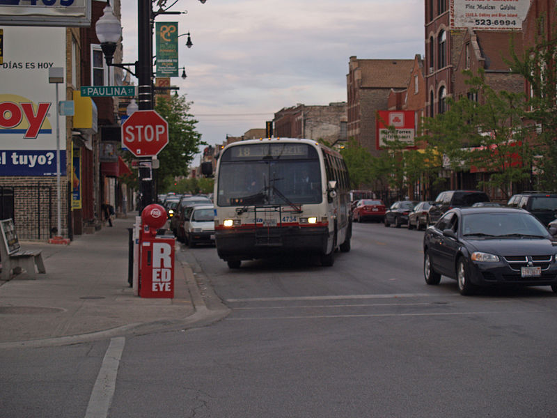
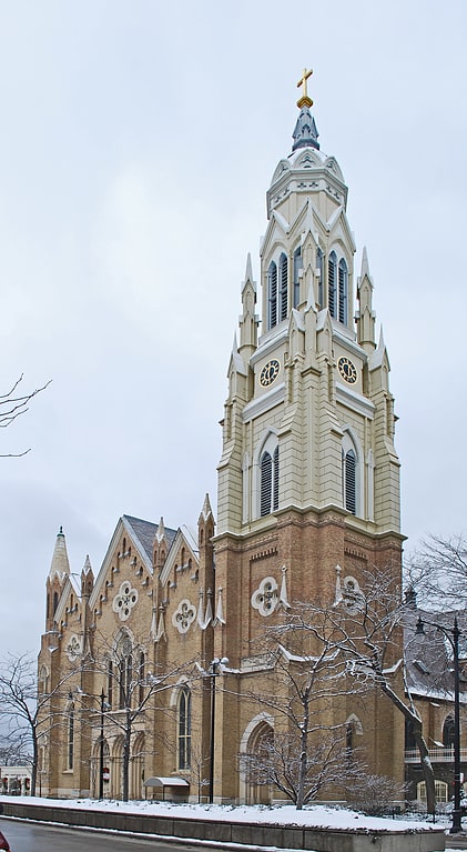
Gallery (2)
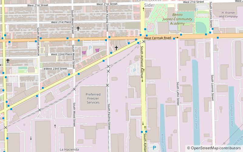
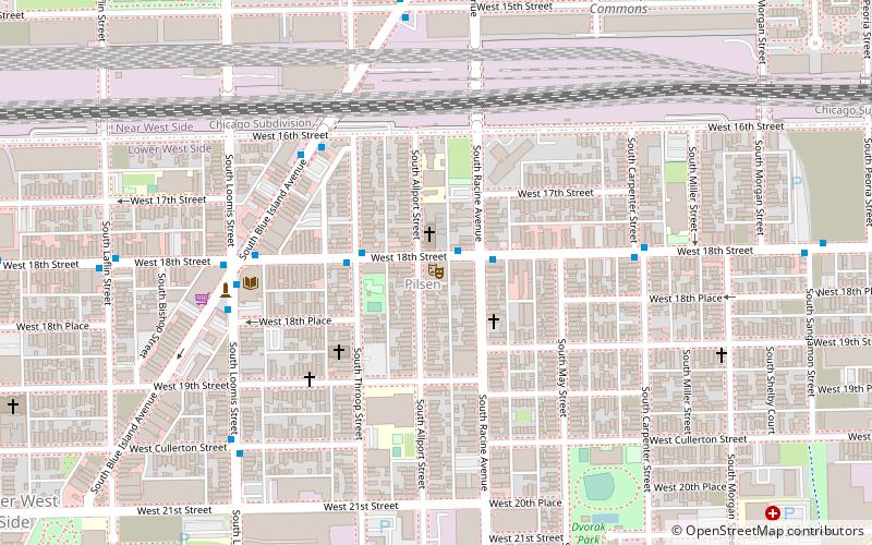
Map
Map
Gallery
Facts and practical information
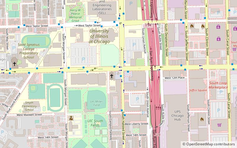
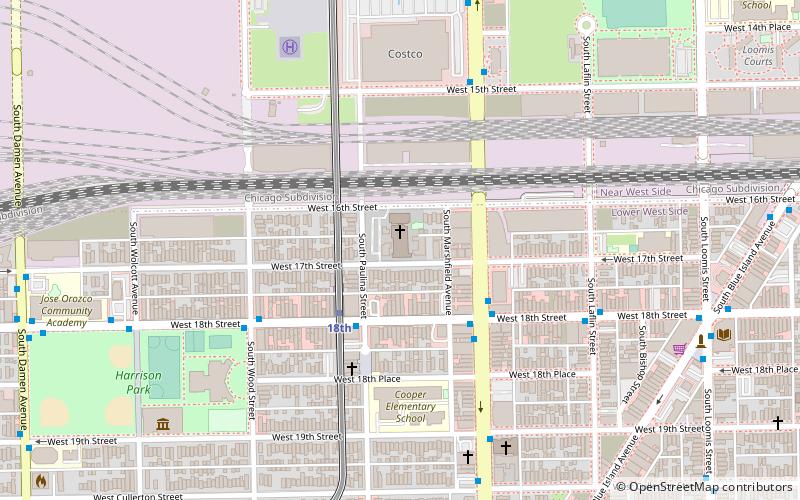
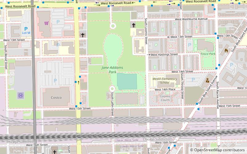
Lower West Side is a community area on the West Side of Chicago, Illinois, United States. It is three miles southwest of the Chicago Loop and its main neighborhood is Pilsen. The Heart of Chicago is a neighborhood in the southwest corner of the Lower West Side. ()
Area: 2.8 mi²Coordinates: 41°51'1"N, 87°40'3"W
Address
West Side (Lower West Side)Chicago
ContactAdd
Social media
Add
Getting there by public transportation
Public transportation stops near this location
- Metro
- Bus
- Train
 Metro
Metro
- Calculate routeBlue Island & Paulina NB 3 min walk
- Calculate route18th 14 min walk
- Calculate routeDamen 15 min walk
- Calculate routeAshland 20 min walk
- Calculate routeWestern Avenue 27 min walk
- Calculate routeHalsted Street 32 min walk
Maps Rail "L"
Rail "L"Day trips


Frequently Asked Questions (FAQ)
Which popular attractions are close to Lower West Side?
Nearby attractions include National Museum of Mexican Art, Chicago (13 min walk), Pilsen Historic District, Chicago (15 min walk), St. Adalbert's in Chicago, Chicago (16 min walk), St. Matthew Evangelical Lutheran School, Chicago (16 min walk).
How to get to Lower West Side by public transport?
The nearest stations to Lower West Side:
Bus
Metro
Train
Bus
- Blue Island & Paulina NB • Lines: 60, (N) N60 (3 min walk)
Metro
- 18th • Lines: Pink (14 min walk)
- Damen • Lines: Pink (15 min walk)
Train
- Western Avenue (27 min walk)
- Halsted Street (32 min walk)