Avenue C, New York City
Map
Facts and practical information
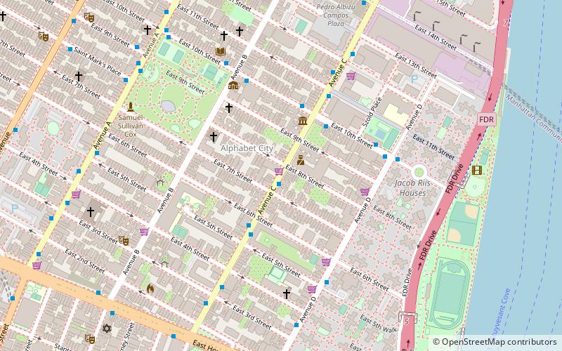
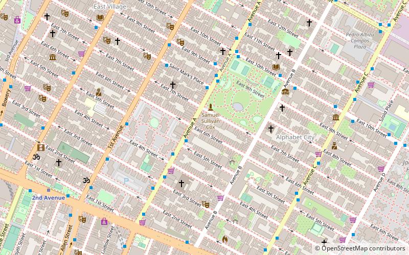
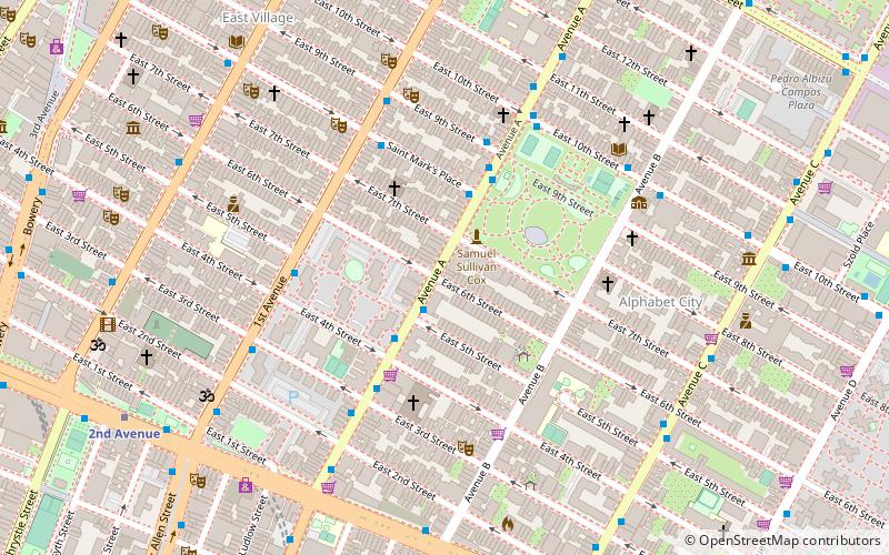
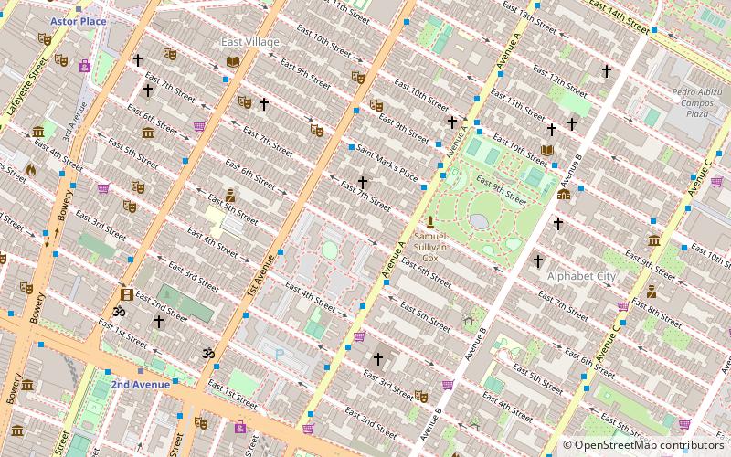
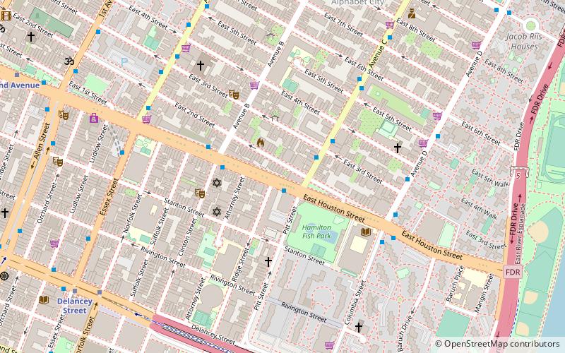
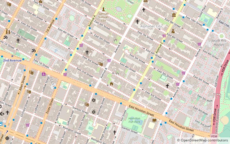
Avenue C is a north-south avenue located in the Alphabet City area of the East Village neighborhood of Manhattan, New York City, east of Avenue B and west of Avenue D. It is also known as Loisaida Avenue. It starts at South Street, proceeding north as Montgomery Street and Pitt Street, before intersecting East Houston Street and assuming its proper name. Avenue C ends at 23rd Street, running nearly underneath the FDR Drive from 18th Street. North of 14th Street the road forms the eastern boundary of Stuyvesant Town and Peter Cooper Village. ()
Address
Downtown Manhattan (East Village)New York City
ContactAdd
Social media
Add
Getting there by public transportation
Public transportation stops near this location
- Metro
- Bus
- Train
 Metro
Metro
- Calculate routeAvenue A & East 5th Street 8 min walk
- Calculate route1st Avenue 12 min walk
- Calculate route2nd Avenue 16 min walk
- Calculate routeLong Island City 42 min walk
Maps SubwayMaps
 Manhattan Buses
SubwayMapsManhattan BusesDay trips
Avenue C – popular in the area (distance from the attraction)
Nearby attractions include: Nuyorican Poets Cafe, Club Cumming, SideWalk Cafe, 300 Park Avenue South.


Frequently Asked Questions (FAQ)
Which popular attractions are close to Avenue C?
Nearby attractions include Carmen Pabón del Amanecer Jardín, New York City (1 min walk), La Plaza Cultural Community Garden, New York City (2 min walk), Alphabet City, New York City (2 min walk), Green Oasis Community Garden, New York City (2 min walk).
How to get to Avenue C by public transport?
The nearest stations to Avenue C:
Bus
Metro
Train
Bus
- Avenue A & East 5th Street • Lines: M14A Sbs (8 min walk)
Metro
- 1st Avenue • Lines: L (12 min walk)
- 2nd Avenue • Lines: <F>, F (16 min walk)
Train
- Long Island City (42 min walk)